 Old Cumbria Gazetteer
 |
 |
|
| mine, Mallerstang (2) | ||
| locality:- | Long Crag | |
| locality:- | Great Bell | |
| civil parish:- | Mallerstang (formerly Westmorland) | |
| county:- | Cumbria | |
| locality type:- | lead mine | |
| locality type:- | mine | |
| coordinates:- | NY78670456 (etc) | |
| 1Km square:- | NY7804 | |
| 10Km square:- | NY70 | |
|
|
||
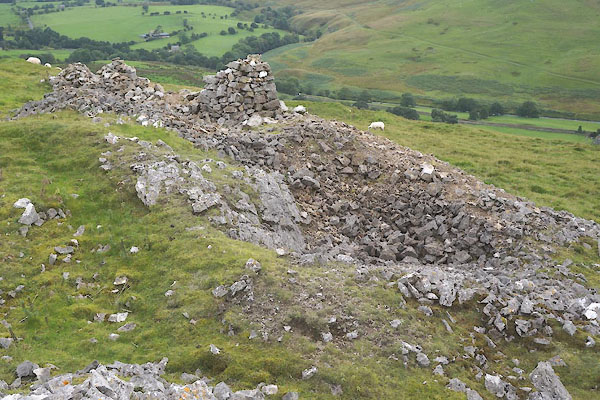 CFM35.jpg (taken 10.9.2016) 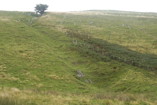 CFM24.jpg hush, (taken 10.9.2016) |
||
| very little to see; not easy to be sure what is what |
||
|
|
||
| evidence:- | old map:- OS County Series (Wmd 30 7) |
|
| source data:- | Maps, County Series maps of Great Britain, scales 6 and 25
inches to 1 mile, published by the Ordnance Survey, Southampton,
Hampshire, from about 1863 to 1948. "Old Lead Mines" |
|
|
|
||
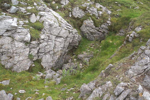 CFM34.jpg (taken 10.9.2016) 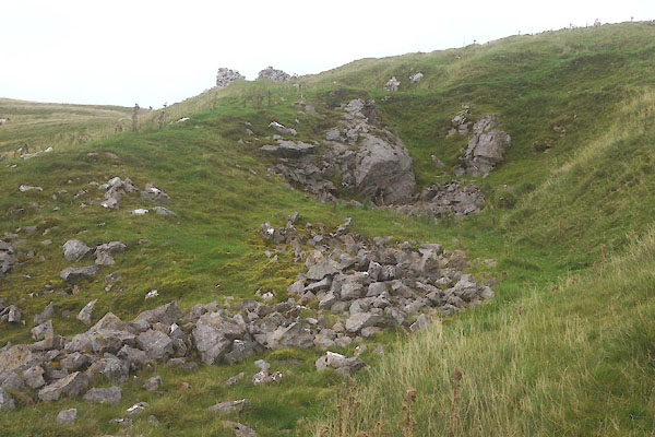 CFM36.jpg (taken 10.9.2016) |
||
| very little to see; not easy to be sure what is what |
||
|
|
||
 Lakes Guides menu.