 Old Cumbria Gazetteer
 |
 |
|
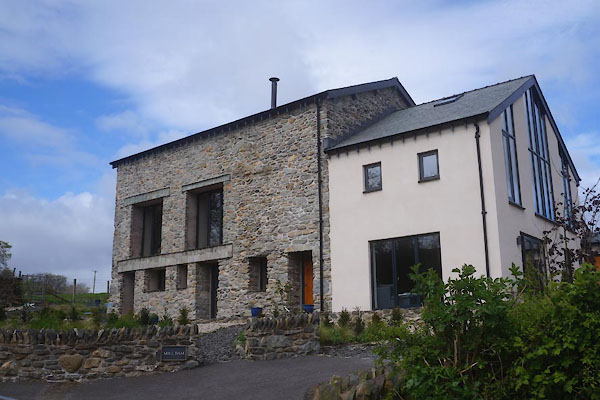
| Milldam, Lower Allithwaite | ||
| Milldam | ||
| locality:- | Hill | |
| civil parish:- | Lower Allithwaite (formerly Lancashire) | |
| county:- | Cumbria | |
| locality type:- | buildings | |
| coordinates:- | SD36517911 | |
| 1Km square:- | SD3679 | |
| 10Km square:- | SD37 | |
|
|
||
 CFZ03.jpg (taken 21.4.2017) |
||
|
|
||
| evidence:- | old map:- OS County Series (Lan 17 2) placename:- Dam Head Farm |
|
| source data:- | Maps, County Series maps of Great Britain, scales 6 and 25
inches to 1 mile, published by the Ordnance Survey, Southampton,
Hampshire, from about 1863 to 1948. |
|
|
|
||
 Lakes Guides menu.