 Old Cumbria Gazetteer
 |
 |
|
| lodge, Great Corby | ||
| locality:- | Corby Castle | |
| locality:- | Great Corby | |
| civil parish:- | Wetheral (formerly Cumberland) | |
| county:- | Cumbria | |
| locality type:- | buildings | |
| locality type:- | gate | |
| coordinates:- | NY47275428 | |
| 1Km square:- | NY4754 | |
| 10Km square:- | NY45 | |
|
|
||
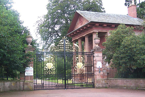 BMO01.jpg (taken 25.8.2006) 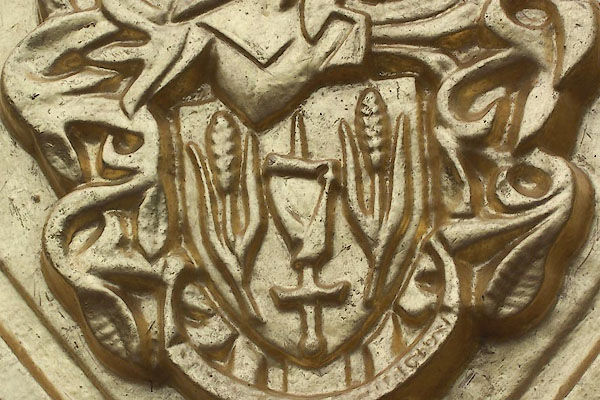 BMO02.jpg Coat of arms. (taken 25.8.2006) |
||
|
|
||
| evidence:- | old map:- OS County Series (Cmd 24 6) placename:- Lodge |
|
| source data:- | Maps, County Series maps of Great Britain, scales 6 and 25
inches to 1 mile, published by the Ordnance Survey, Southampton,
Hampshire, from about 1863 to 1948. "Lodge" |
|
|
|
||
 Lakes Guides menu.