 Old Cumbria Gazetteer
 |
 |
|
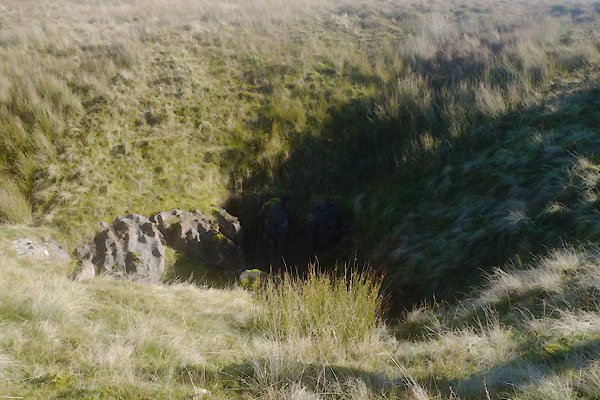
| Jingling Cove, Mallerstang | ||
| Jingling Cove | ||
| locality:- | Fells End Bottom | |
| civil parish:- | Mallerstang (formerly Westmorland) | |
| civil parish:- | Nateby (formerly Westmorland) | |
| county:- | Cumbria | |
| locality type:- | shakehole | |
| locality type:- | boundary mark | |
| locality type:- | parish boundary mark | |
| coordinates:- | NY80950408 | |
| 1Km square:- | NY8004 | |
| 10Km square:- | NY80 | |
|
|
||
 CEG07.jpg (taken 3.11.2015) 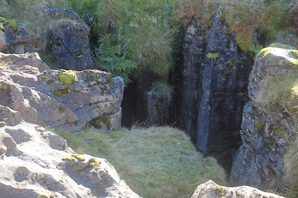 CEG09.jpg (taken 3.11.2015) |
||
|
|
||
| evidence:- | old map:- OS County Series (Wmd 30) placename:- Jingling Cove |
|
| source data:- | Maps, County Series maps of Great Britain, scales 6 and 25
inches to 1 mile, published by the Ordnance Survey, Southampton,
Hampshire, from about 1863 to 1948. |
|
|
|
||
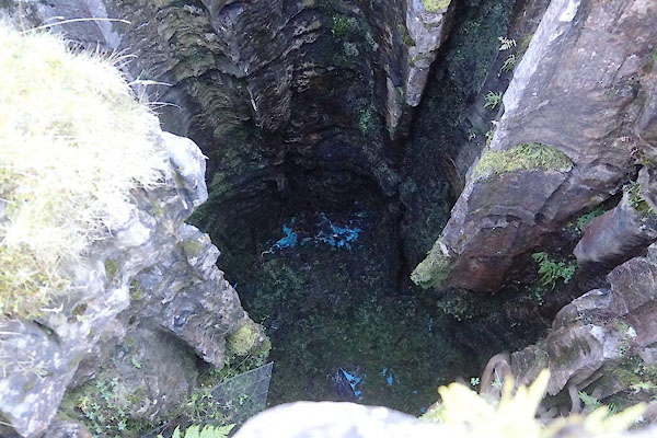 CEG08.jpg (taken 3.11.2015) |
||
|
|
||
 Lakes Guides menu.