 Old Cumbria Gazetteer
 |
 |
|
||
| Hodge Wife Gill | ||||
| runs into:- |  Strands Beck (2) Strands Beck (2) |
|||
|
|
||||
| locality:- | Tarn Riggs | |||
| civil parish:- | Blawith and Subberthwaite (formerly Lancashire) | |||
| county:- | Cumbria | |||
| locality type:- | river | |||
| 1Km square:- | SD2690 (etc) | |||
| 10Km square:- | SD29 | |||
|
|
||||
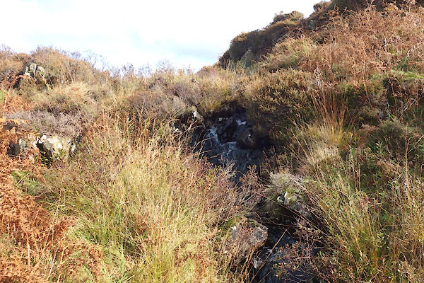 CGU05.jpg near Gill Head, (taken 18.10.2017) 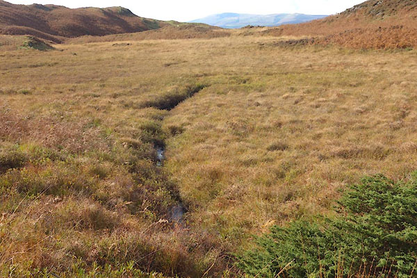 CGU07.jpg south of Gill Head, (taken 18.10.2017) |
||||
|
|
||||
| evidence:- | old map:- OS County Series (Lan 7 6) placename:- Hodge Wife Gill |
|||
| source data:- | Maps, County Series maps of Great Britain, scales 6 and 25
inches to 1 mile, published by the Ordnance Survey, Southampton,
Hampshire, from about 1863 to 1948. |
|||
|
|
||||
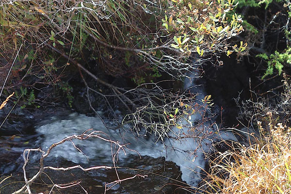 CGU06.jpg near Gill Head, (taken 18.10.2017) |
||||
|
|
||||
| places:- |
|
|||
Lakes Guides menu.