 Old Cumbria Gazetteer
 |
 |
|
| Hill Mill, Lower Allithwaite | ||
| gone | ||
| Hill Mill | ||
| site name:- | Hill Mill Brook | |
| locality:- | Hill | |
| civil parish:- | Lower Allithwaite (formerly Lancashire) | |
| county:- | Cumbria | |
| locality type:- | corn mill | |
| locality type:- | water mill | |
| locality type:- | mill | |
| coordinates:- | SD36647905 | |
| 1Km square:- | SD3679 | |
| 10Km square:- | SD37 | |
|
|
||
| evidence:- | old map:- OS County Series (Lan 17 2) placename:- Hill Mill |
|
| source data:- | Maps, County Series maps of Great Britain, scales 6 and 25
inches to 1 mile, published by the Ordnance Survey, Southampton,
Hampshire, from about 1863 to 1948. "Hill Mill (Corn) / Mill pond / Sluice / Weir" |
|
|
|
||
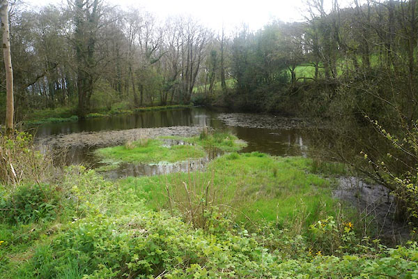 CFY98.jpg Mill dam, (taken 21.4.2017) 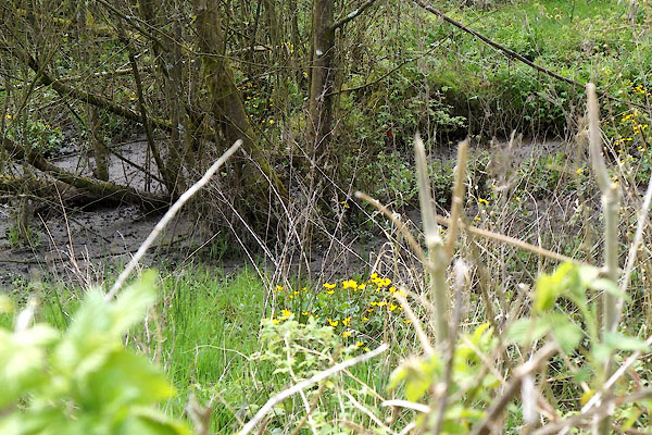 CFY99.jpg Mill dam, (taken 21.4.2017) 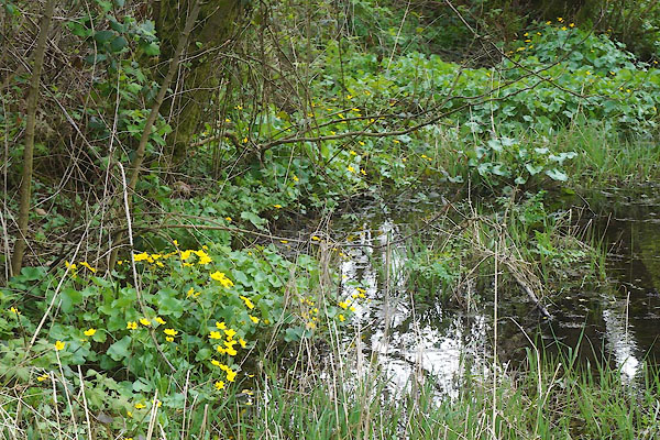 CFZ01.jpg Mill dam, (taken 21.4.2017) 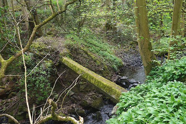 CFZ02.jpg Item at (taken 21.4.2017) |
||
|
|
||
 Lakes Guides menu.