 Old Cumbria Gazetteer
 |
 |
|
| Hause Bridge, Grayrigg | ||
| Hause Bridge | ||
| site name:- | Burnes Gill | |
| locality:- | Lune Gorge | |
| civil parish:- | Grayrigg (formerly Westmorland) | |
| county:- | Cumbria | |
| locality type:- | bridge | |
| coordinates:- | NY60790059 | |
| 1Km square:- | NY6000 | |
| 10Km square:- | NY60 | |
|
|
||
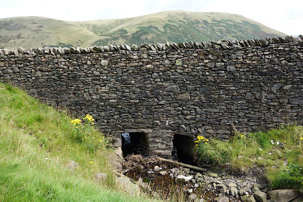 CGJ66.jpg (taken 10.8.2017) |
||
|
|
||
| evidence:- | old map:- OS County Series (Wmd 34 4) placename:- Hause Bridge |
|
| source data:- | Maps, County Series maps of Great Britain, scales 6 and 25
inches to 1 mile, published by the Ordnance Survey, Southampton,
Hampshire, from about 1863 to 1948. |
|
|
|
||
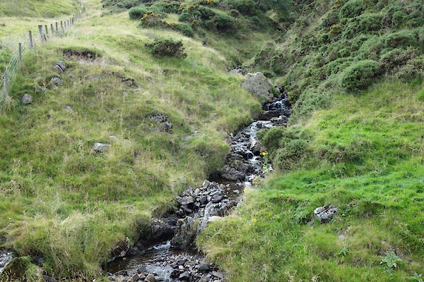 CGJ67.jpg View of river. (taken 10.8.2017) |
||
|
|
||
 Lakes Guides menu.