 Old Cumbria Gazetteer
 |
 |
|
| Grandsire, Crook | ||
| Grandsire | ||
| civil parish:- | Crook (formerly Westmorland) | |
| civil parish:- | Nether Staveley (formerly Westmorland) | |
| county:- | Cumbria | |
| locality type:- | hill | |
| coordinates:- | SD43219730 (etc) | |
| 1Km square:- | SD4397 | |
| 10Km square:- | SD49 | |
|
|
||
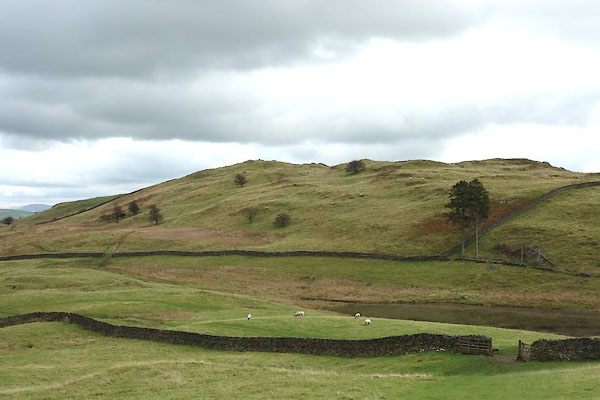 CGR86.jpg (taken 9.10.2017) |
||
|
|
||
| evidence:- | old map:- OS County Series (Wmd 32 12) placename:- Grandsire |
|
| source data:- | Maps, County Series maps of Great Britain, scales 6 and 25
inches to 1 mile, published by the Ordnance Survey, Southampton,
Hampshire, from about 1863 to 1948. |
|
|
|
||
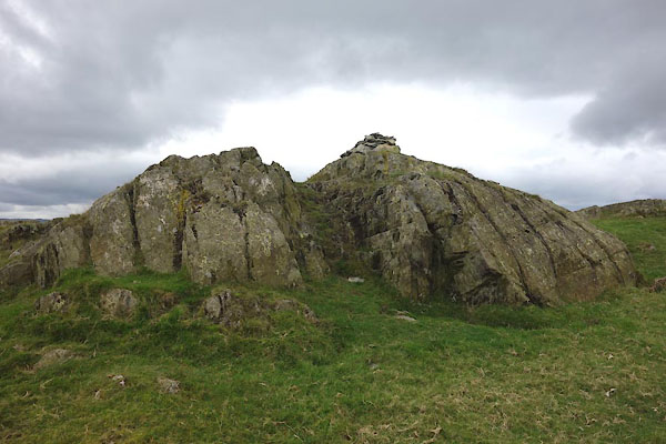 CGR87.jpg Cairn, (taken 9.10.2017) 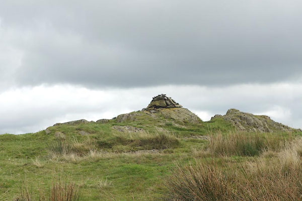 CGR88.jpg Cairn, (taken 9.10.2017) 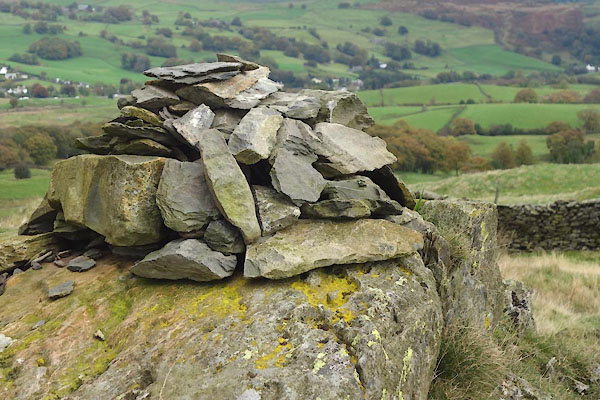 CGR89.jpg Cairn, (taken 9.10.2017) |
||
|
|
||
 Lakes Guides menu.