 Old Cumbria Gazetteer
 |
 |
|
| Down Hall, Aikton (E) | ||
| Down Hall | ||
| Downhall | ||
| locality:- | Down Hall | |
| civil parish:- | Aikton (formerly Cumberland) | |
| county:- | Cumbria | |
| locality type:- | buildings | |
| coordinates:- | NY28305249 | |
| 1Km square:- | NY2852 | |
| 10Km square:- | NY25 | |
|
|
||
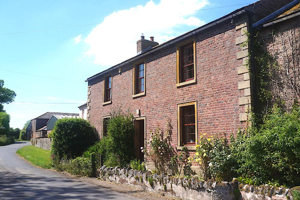 CGD92.jpg (taken 26.5.2017) |
||
|
|
||
| evidence:- | old map:- OS County Series (Cmd 22 15) placename:- Downhall |
|
| source data:- | Maps, County Series maps of Great Britain, scales 6 and 25
inches to 1 mile, published by the Ordnance Survey, Southampton,
Hampshire, from about 1863 to 1948. |
|
|
|
||
| evidence:- | database:- Listed Buildings 2010 placename:- Down Hall Farm |
|
| source data:- | courtesy of English Heritage "DOWN HALL FARMHOUSE IN THE OCCUPATION OF MR GRAHAM / / / AIKTON / ALLERDALE / CUMBRIA / II / 71880 / NY2830352508" |
|
|
|
||
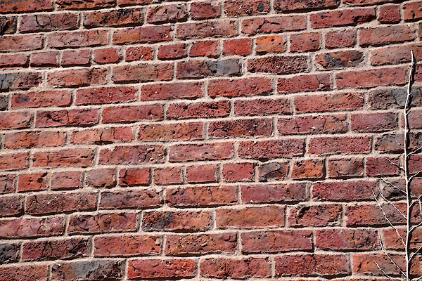 CGD93.jpg Walling, english garden wall bond brickwork. (taken 26.5.2017) 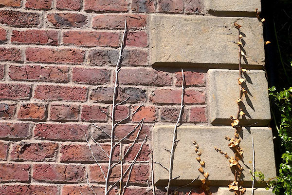 CGD94.jpg Quoins. (taken 26.5.2017) 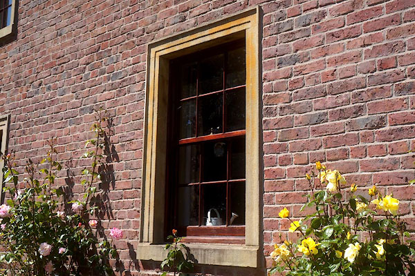 CGD95.jpg Window. (taken 26.5.2017) 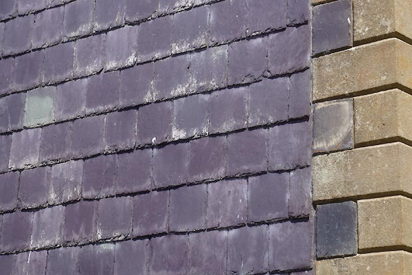 CGD96.jpg Walling, tile hung.. (taken 26.5.2017) |
||
|
|
||
 Lakes Guides menu.