 Old Cumbria Gazetteer
 |
 |
|
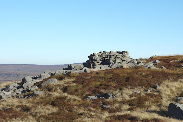
| currick, Mallerstang (2) | ||
| civil parish:- | Mallerstang (formerly Westmorland) | |
| county:- | Cumbria | |
| locality type:- | currick | |
| locality type:- | shelter | |
| locality type:- | boundary mark | |
| locality type:- | county boundary mark | |
| coordinates:- | SD81139959 | |
| 1Km square:- | SD8199 | |
| 10Km square:- | SD89 | |
| county:- | North Yorkshire | |
| current boundary | ||
| locality:- | Cumbria boundary | |
| old boundary | ||
| locality:- | Cumberland boundary | |
|
|
||
 CEH09.jpg (taken 2.11.2015) |
||
|
|
||
| evidence:- | old map:- OS County Series (Wmd 36) |
|
| source data:- | Maps, County Series maps of Great Britain, scales 6 and 25
inches to 1 mile, published by the Ordnance Survey, Southampton,
Hampshire, from about 1863 to 1948. "Currick" |
|
|
|
||
 Lakes Guides menu.