 Old Cumbria Gazetteer
 |
 |
|
| Carlisle: Collier Lane | ||
| Collier Lane | ||
| locality:- | Botchergate | |
| civil parish:- | Carlisle (formerly Cumberland) | |
| county:- | Cumbria | |
| locality type:- | street | |
| coordinates:- | NY40355548 (etc) | |
| 1Km square:- | NY4055 | |
| 10Km square:- | NY45 | |
|
|
||
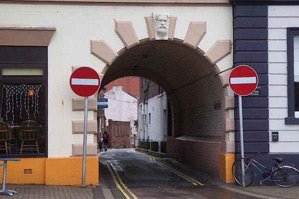 CEH98.jpg (taken 13.11.2015) 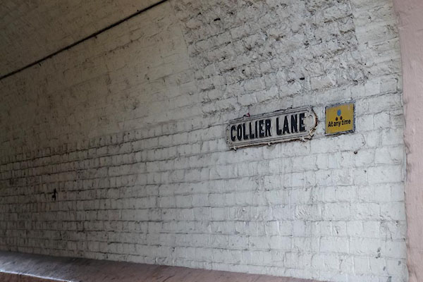 CEI01.jpg Street name. (taken 13.11.2015) |
||
|
|
||
| evidence:- | old map:- OS County Series (Cmd 23 8) placename:- Collier Lane |
|
| source data:- | Maps, County Series maps of Great Britain, scales 6 and 25
inches to 1 mile, published by the Ordnance Survey, Southampton,
Hampshire, from about 1863 to 1948. |
|
|
|
||
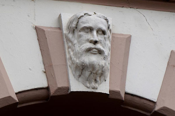 CEH99.jpg (taken 13.11.2015) |
||
|
|
||
 Lakes Guides menu.