 Old Cumbria Gazetteer
 |
 |
|
| Buttergill, Asby | ||
| Buttergill | ||
| civil parish:- | Asby (formerly Westmorland) | |
| county:- | Cumbria | |
| locality type:- | barn | |
| coordinates:- | NY68181179 | |
| 1Km square:- | NY6811 | |
| 10Km square:- | NY61 | |
|
|
||
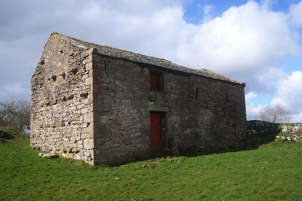 CFW72.jpg (taken 6.3.2017)  CFW81.jpg View SW. (taken 6.3.2017) |
||
|
|
||
| evidence:- | old map:- OS County Series (Wmd 22 7) placename:- Buttergill |
|
| source data:- | Maps, County Series maps of Great Britain, scales 6 and 25
inches to 1 mile, published by the Ordnance Survey, Southampton,
Hampshire, from about 1863 to 1948. |
|
|
|
||
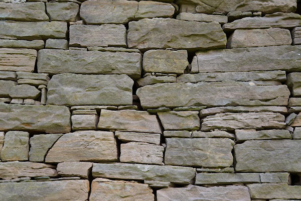 CFW73.jpg Walling. (taken 6.3.2017) 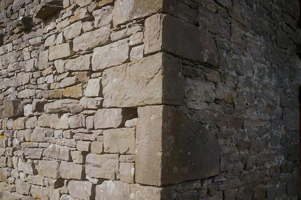 CFW74.jpg Quoins. (taken 6.3.2017) 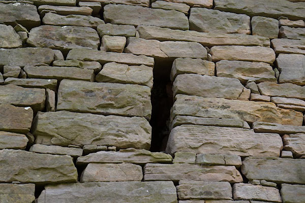 CFW75.jpg Ventilation slit. (taken 6.3.2017) 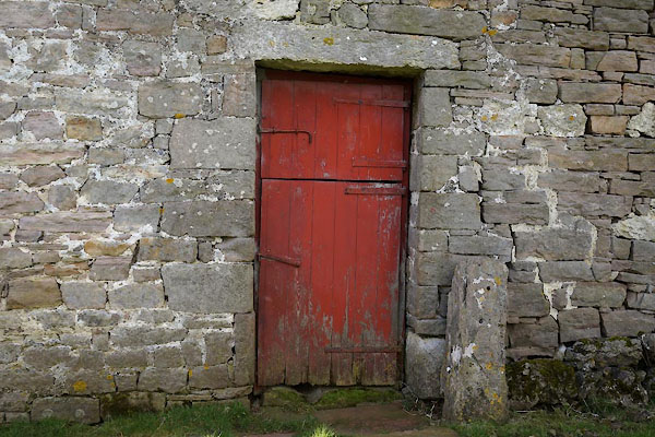 CFW76.jpg Door. (taken 6.3.2017) 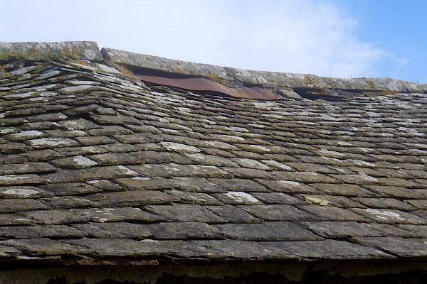 CFW77.jpg Roofing. (taken 6.3.2017) 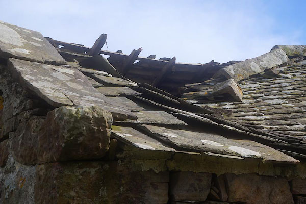 CFW78.jpg Roofing. (taken 6.3.2017) 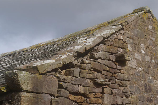 CFW79.jpg Gable. (taken 6.3.2017) 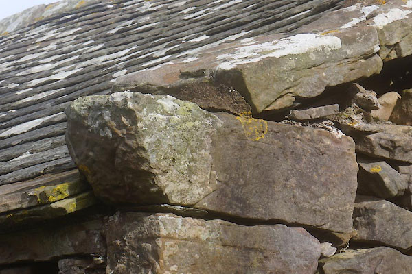 CFW80.jpg Skewput. (taken 6.3.2017) |
||
|
|
||
 Lakes Guides menu.