 Old Cumbria Gazetteer
 |
 |
|
| Bobbin Mill Bridge, Ulpha | ||
| Bobbin Mill Bridge | ||
| site name:- | Holehouse Gill | |
| civil parish:- | Ulpha (formerly Cumberland) | |
| county:- | Cumbria | |
| locality type:- | bridge | |
| coordinates:- | SD19019259 | |
| 1Km square:- | SD1992 | |
| 10Km square:- | SD19 | |
|
|
||
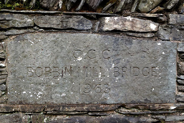 CFZ61.jpg Plaque:- "C.C.C. / BOBBIN MILL BRIDGE / 1963" (taken 28.4.2017) |
||
|
|
||
| evidence:- | old map:- OS County Series (Cmd 86 3) placename:- Mill Bridge |
|
| source data:- | Maps, County Series maps of Great Britain, scales 6 and 25
inches to 1 mile, published by the Ordnance Survey, Southampton,
Hampshire, from about 1863 to 1948. |
|
|
|
||
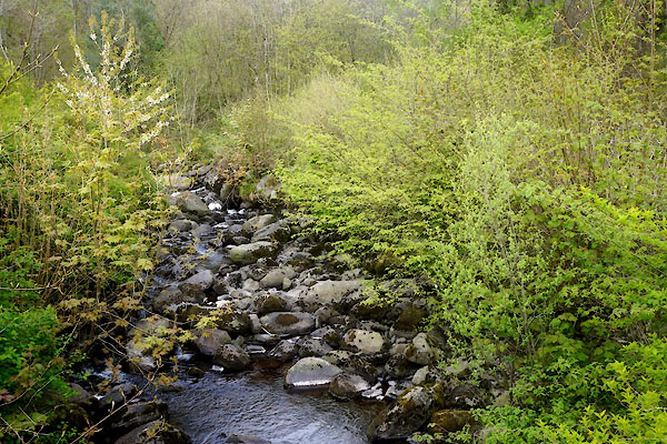 CFZ62.jpg View of river. (taken 28.4.2017) |
||
|
|
||
 Lakes Guides menu.