 |
 |
|
|
|
|
Wythop Mill |
| civil parish:- |
Embleton (formerly Cumberland) |
| county:- |
Cumbria |
| locality type:- |
locality |
| locality type:- |
buildings |
| coordinates:- |
NY17832950 (etc) |
| 1Km square:- |
NY1729 |
| 10Km square:- |
NY12 |
|
|
| evidence:- |
old map:- OS County Series (Cmd 55 6)
placename:- Wythop Mill
|
| source data:- |
Maps, County Series maps of Great Britain, scales 6 and 25
inches to 1 mile, published by the Ordnance Survey, Southampton,
Hampshire, from about 1863 to 1948.
|
|
|
| evidence:- |
old map:- Donald 1774 (Cmd)
placename:- Withop Mill
|
| source data:- |
Map, hand coloured engraving, 3x2 sheets, The County of Cumberland, scale about 1
inch to 1 mile, by Thomas Donald, engraved and published by Joseph Hodskinson, 29
Arundel Street, Strand, London, 1774.
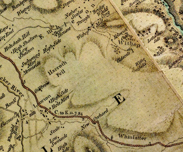
D4NY12NE.jpg
"Withop Mill"
block or blocks, labelled in lowercase; a hamlet or just a house
item:- Carlisle Library : Map 2
Image © Carlisle Library |
|
|
| places:- |
 |
NY17852949 Bridge House (Embleton) |
|
|
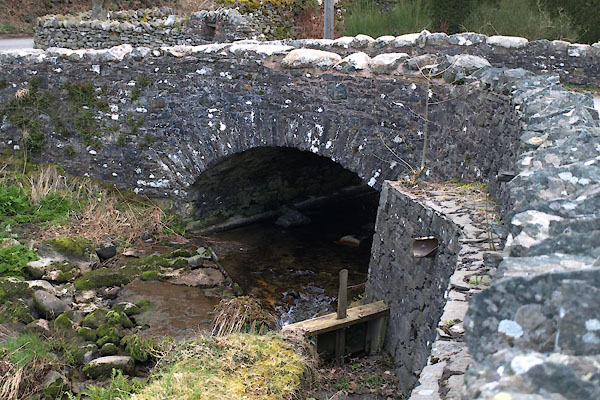 |
NY17872950 bridge, Wythop Mill (Embleton) |
|
|
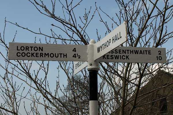 |
NY17872952 fingerpost, Wythop Mill (Embleton) |
|
|
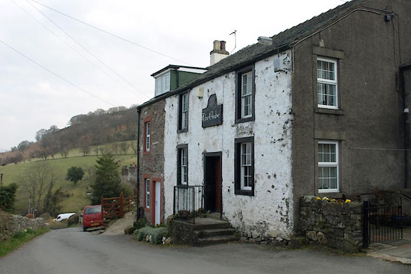 |
NY17762947 Globe, The (Embleton) |
|
|
 |
NY17722948 Lund How (Embleton) |
|
|
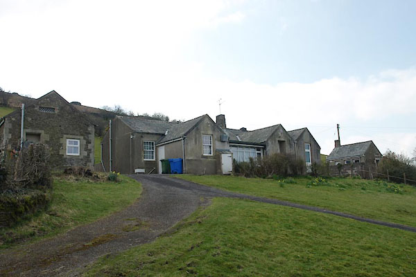 |
NY17722938 Embleton and Wythop School (Embleton) |
|
|
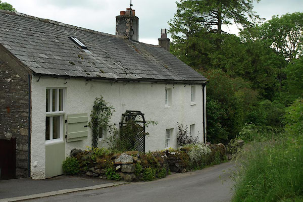 |
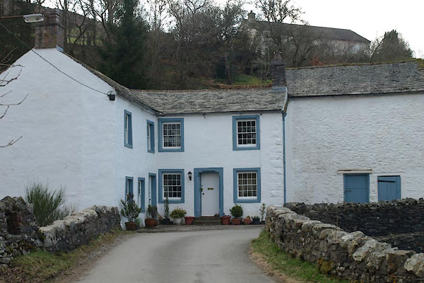
NY17862953 Wythop Mill Cottage (Embleton) L |
|
|
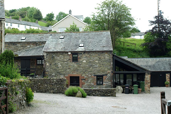 |
NY17832957 Wythop Mill (Embleton) L |
|
