 |
 |
|
|
|
|
Winder |
| civil parish:- |
Lamplugh (formerly Cumberland) |
| county:- |
Cumbria |
| locality type:- |
locality |
| locality type:- |
buildings |
| coordinates:- |
NY04851764 (etc) |
| 1Km square:- |
NY0417 |
| 10Km square:- |
NY01 |
|
|
| evidence:- |
old map:- Donald 1774 (Cmd)
placename:- Winder
|
| source data:- |
Map, hand coloured engraving, 3x2 sheets, The County of Cumberland, scale about 1
inch to 1 mile, by Thomas Donald, engraved and published by Joseph Hodskinson, 29
Arundel Street, Strand, London, 1774.
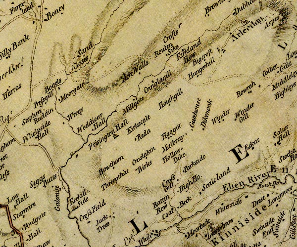
D4NY01NW.jpg
"Winder"
block or blocks, labelled in lowercase; a hamlet or just a house
item:- Carlisle Library : Map 2
Image © Carlisle Library |
|
|
| places:- |
 |
SD66009294 Hill Scar (Sedbergh) |
|
|
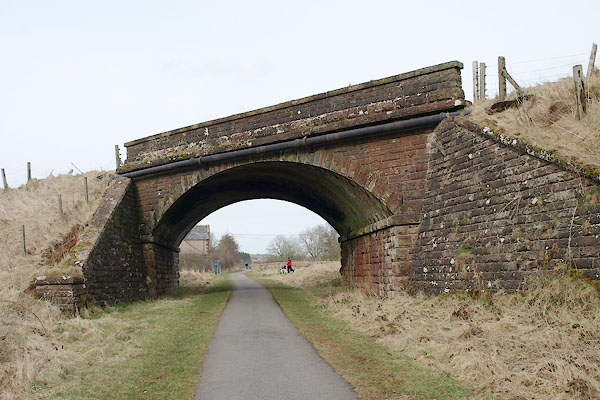 |
NY04781789 railway bridge, Arlecdon and Frizington (Arlecdon and Frizington) |
|
|
 |
NY04821788 railway bridge, Lamplugh (2) (Lamplugh) |
|
|
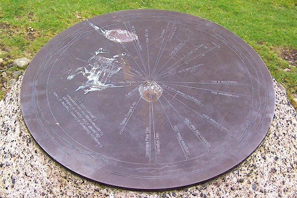 |
SD65519334 topograph, Winder (Sedbergh) |
|
|
 |
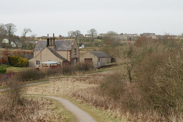
NY04541740 Winder Farm (Lamplugh) |
|
|
|
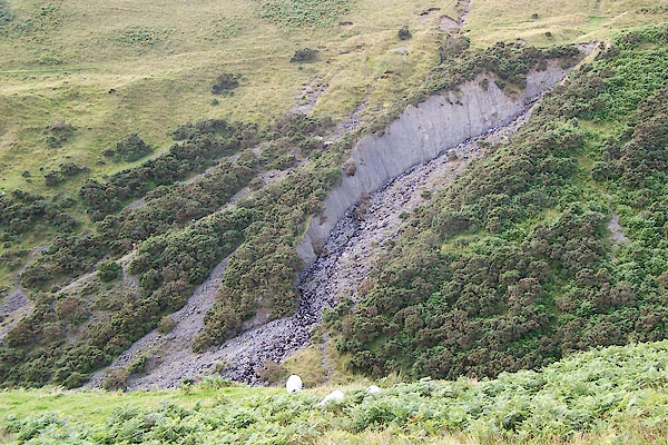
NY05031745 Winder Gill (Lamplugh) gone |
|
|
 |
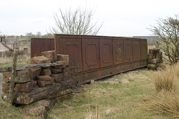
NY04821798 Winder Station (Arlecdon and Frizington) |
|
