 Old Cumbria Gazetteer
 |
 |
|
| Whitehaven: Lowther Street | ||
| Lowther Street | ||
| locality:- | Whitehaven | |
| civil parish:- | Whitehaven (formerly Cumberland) | |
| county:- | Cumbria | |
| locality type:- | buildings | |
| coordinates:- | NX97391810 | |
| 1Km square:- | NX9718 | |
| 10Km square:- | NX91 | |
|
|
||
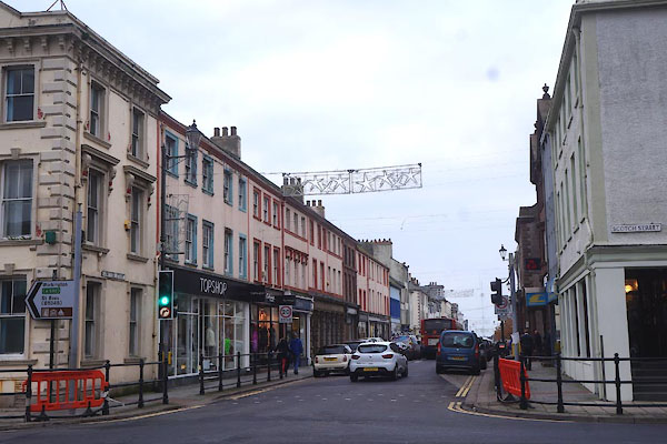 CBX88.jpg NW from Civic Hall. (taken 31.10.2014) 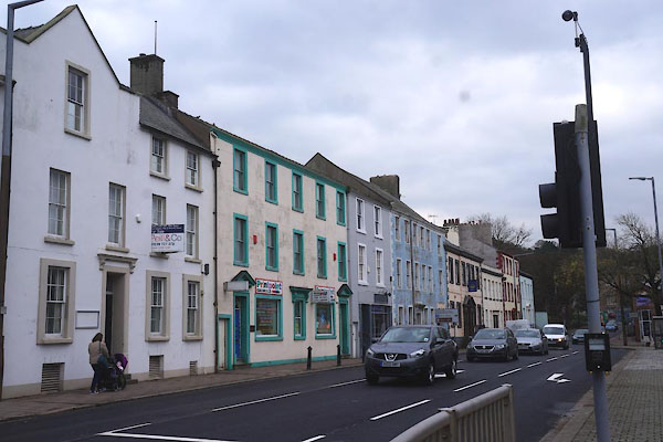 CBX89.jpg SE from Civic Hall (taken 31.10.2014) |
||
|
|
||
| evidence:- | old map:- OS County Series (Cmd 67 2) placename:- Lowther Street |
|
| source data:- | Maps, County Series maps of Great Britain, scales 6 and 25
inches to 1 mile, published by the Ordnance Survey, Southampton,
Hampshire, from about 1863 to 1948. |
|
|
|
||
| evidence:- | old map:- Donald 1774 (Cmd) placename:- Lowther Street |
|
| source data:- | Map, hand coloured engraving, 3x2 sheets, The County of Cumberland, scale about 1
inch to 1 mile, by Thomas Donald, engraved and published by Joseph Hodskinson, 29
Arundel Street, Strand, London, 1774.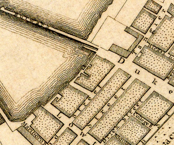 D49718G.jpg 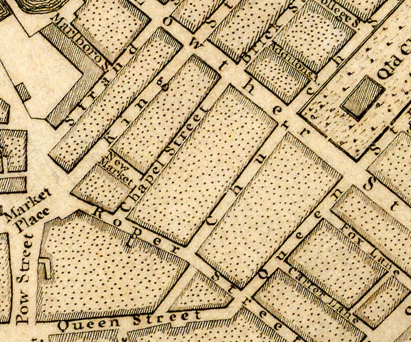 D49718F.jpg 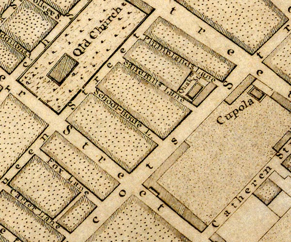 D49718K.jpg 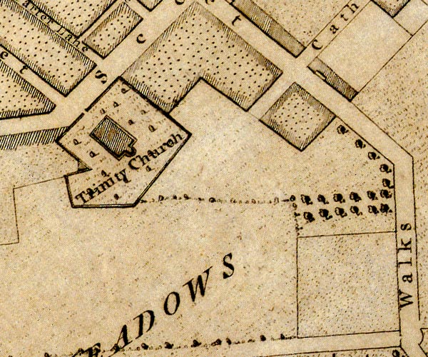 D49717P.jpg "Lowther Street" street item:- Carlisle Library : Map 2 Images © Carlisle Library |
|
|
|
||
| evidence:- | old print:- item:- street lamp |
|
| source data:- | Print, Lowther Street, Whitehaven, Cumberland, by W Kinnebrook, 1842.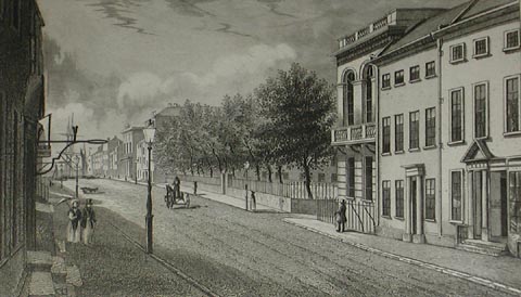 click to enlarge click to enlargePR1063.jpg In a scrapbook album. item:- Tullie House Museum : 1970.80.1.60 Image © Tullie House Museum |
|
|
|
||
 Lakes Guides menu.