Old Cumbria Gazetteer
 |
 |
|
||
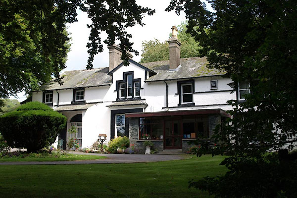
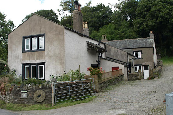
| Waterend, Loweswater | ||||
| Waterend | ||||
| locality:- | Loweswater | |||
| civil parish:- | Loweswater (formerly Cumberland) | |||
| county:- | Cumbria | |||
| locality type:- | locality | |||
| locality type:- | buildings | |||
| coordinates:- | NY11612263 (etc) | |||
| 1Km square:- | NY1122 | |||
| 10Km square:- | NY12 | |||
|
|
||||
| evidence:- | old map:- Donald 1774 (Cmd) placename:- Bottom |
|||
| source data:- | Map, hand coloured engraving, 3x2 sheets, The County of Cumberland, scale about 1
inch to 1 mile, by Thomas Donald, engraved and published by Joseph Hodskinson, 29
Arundel Street, Strand, London, 1774.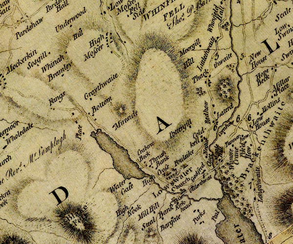 D4NY12SW.jpg "Bottom" block or blocks, labelled in lowercase; a hamlet or just a house item:- Carlisle Library : Map 2 Image © Carlisle Library |
|||
|
|
||||
| evidence:- | old map:- Crosthwaite 1783-94 (But/Cru/Low) placename:- Water End |
|||
| source data:- | Map, uncoloured engraving, An Accurate Map of Buttermere,
Crummock and Loweswater Lakes, scale about 3 inches to 1 mile,
by Peter Crosthwaite, Keswick, Cumberland, 1794, version
published 1800.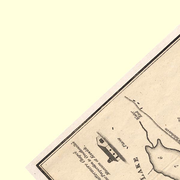 CT8NY12B.jpg "Water End" item:- Armitt Library : 1959.191.2 Image © see bottom of page |
|||
|
|
||||
| evidence:- | old print:- Rose 1832-35 (vol.2 no.13) placename:- Water End |
|||
| source data:- | Print, engraving, Loweswater, from Water End, Cumberland, by Thomas Allom, engraved
by W Floyd, 1833.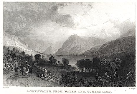 click to enlarge click to enlargePR0402.jpg The text description of the view it 'includes the mountains of Blake Fell, Mellbreak, and Red Pike.' Vol.2 no.13 in Westmorland, Cumberland, Durham and Northumberland Illustrated, with descriptions by Thomas Rose, published by H Fisher, R Fisher, and P Jackson, Newgate, London, about 1835. item:- Dove Cottage : 2008.107.395 Image © see bottom of page |
|||
|
|
||||
| places:- |
|
|||
|
||||
|
||||
 Lakes Guides menu.