 Old Cumbria Gazetteer
 |
 |
|
| tramroad, Geltsdale | ||
| once? | ||
| locality:- | Tarnmonath Fell | |
| locality:- | Geltsdale | |
| civil parish:- | Geltsdale (formerly Cumberland) | |
| county:- | Cumbria | |
| locality type:- | tramroad (?) | |
| locality type:- | track (?) | |
| coordinates:- | NY58455550 (etc etc) | |
| 1Km square:- | NY5855 | |
| 10Km square:- | NY55 | |
| SummaryText:- | There could have been a tramroad from the mine near Hanging Crag northwards. | |
|
|
||
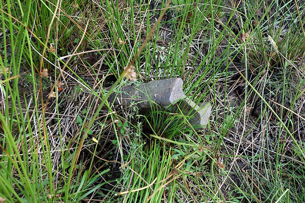 CBH92.jpg Piece of rail, (taken 28.7.2014) |
||
|
|
||
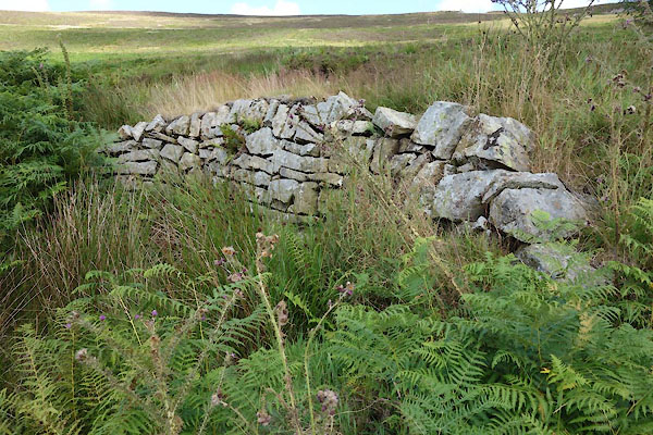
| MN photo:- |
Railway bridge? |
|
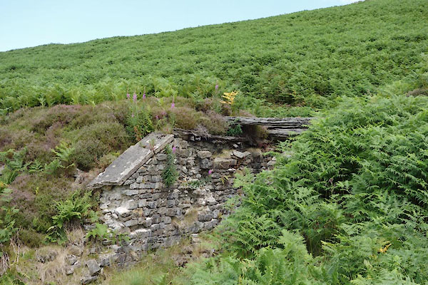 CBH88.jpg (taken 28.7.2014) 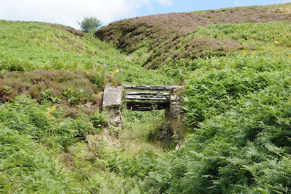 CBH89.jpg (taken 28.7.2014) 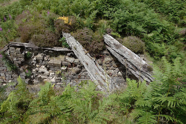 CBH90.jpg (taken 28.7.2014) |
||
|
|
||
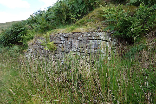
| MN photo:- |
Railway bridge? |
|
 CBH91.jpg (taken 28.7.2014) |
||
|
|
||
 CBH93.jpg Retaing wall? (taken 28.7.2014) 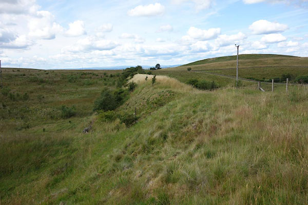 CBH94.jpg Embankment (taken 28.7.2014) |
||
|
|
||
 Lakes Guides menu.