 Old Cumbria Gazetteer
 |
 |
|
| Thurstonfield Methodist Chapel, Thurstonfield | ||
| Thurstonfield Methodist Chapel | ||
| locality:- | Thurstonfield | |
| civil parish:- | Burgh by Sands (formerly Cumberland) | |
| county:- | Cumbria | |
| locality type:- | chapel | |
| locality type:- | methodist chapel | |
| coordinates:- | NY31735647 | |
| 1Km square:- | NY3156 | |
| 10Km square:- | NY35 | |
|
|
||
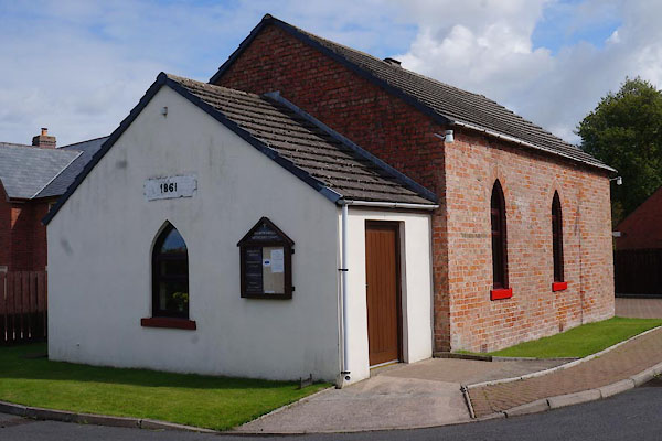 CBL60.jpg (taken 22.8.2014) 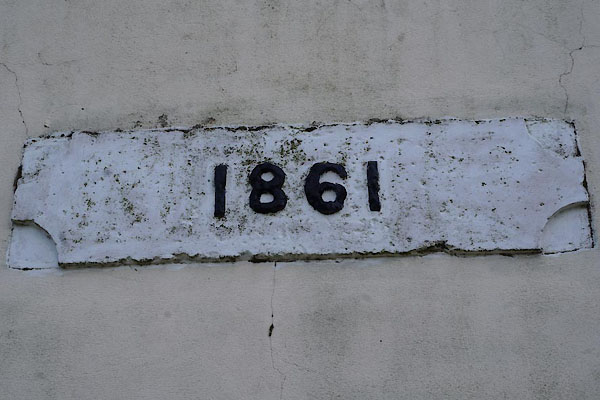 CBL61.jpg Plaque from an earlier building:- "1861" (taken 22.8.2014) |
||
|
|
||
| evidence:- | old map:- OS County Series (Cmd 22 4) |
|
| source data:- | Maps, County Series maps of Great Britain, scales 6 and 25
inches to 1 mile, published by the Ordnance Survey, Southampton,
Hampshire, from about 1863 to 1948. "Methodist Chapel (Wesleyan)" |
|
|
|
||
 Lakes Guides menu.