 Old Cumbria Gazetteer
 |
 |
|
| Tarn, Rockcliffe | ||
| gone | ||
| Tarn | ||
| locality:- | ||
| civil parish:- | Rockcliffe (formerly Cumberland) | |
| county:- | Cumbria | |
| locality type:- | tarn | |
| coordinates:- | NY37226165 (etc) | |
| 1Km square:- | NY3761 | |
| 10Km square:- | NY36 | |
| references:- | Greenwood 1824 |
|
|
|
||
| evidence:- | old map:- Donald 1774 (Cmd) placename:- Lough |
|
| source data:- | Map, hand coloured engraving, 3x2 sheets, The County of Cumberland, scale about 1
inch to 1 mile, by Thomas Donald, engraved and published by Joseph Hodskinson, 29
Arundel Street, Strand, London, 1774.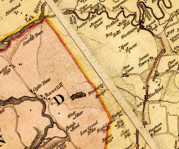 D4NY36SE.jpg "Lough" lake item:- Carlisle Library : Map 2 Image © Carlisle Library |
|
|
|
||
| evidence:- | old map:- Greenwood 1824 (Cmd) placename:- Tarn |
|
| source data:- | Maps, Map of the County of Westmorland, scale about 1 inch to 1
mile, and Map of the County of Cumberland, scale about 1 inch to
1 mile, etc, by C and J Greenwood, published by George Pringle
jnr, 70 Queen Street, Cheapside, London, 1823 and 1824
respectively. stretches nearly from Crookdyke to the north road "Tarn" |
|
|
|
||
 Lakes Guides menu.