


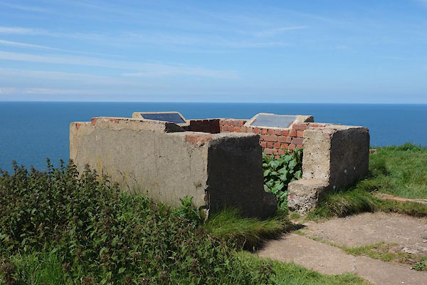
CDL06.jpg (taken 23.6.2015)
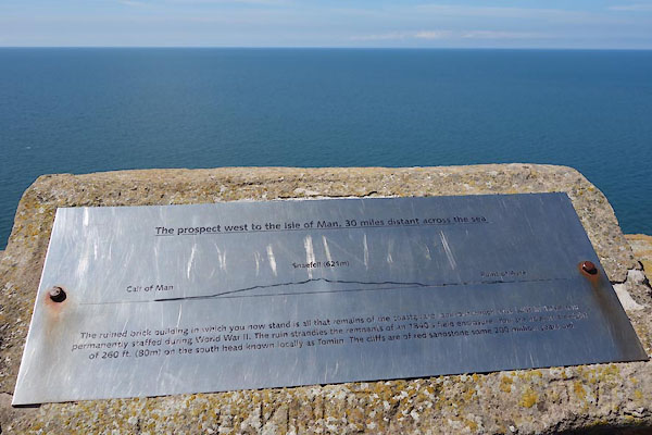
CDL08.jpg Outline view SW, and the view
(taken 23.6.2015)
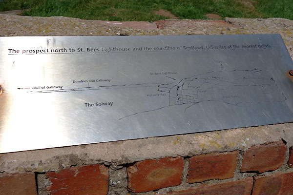
CDL09.jpg Outline view N.
(taken 23.6.2015)
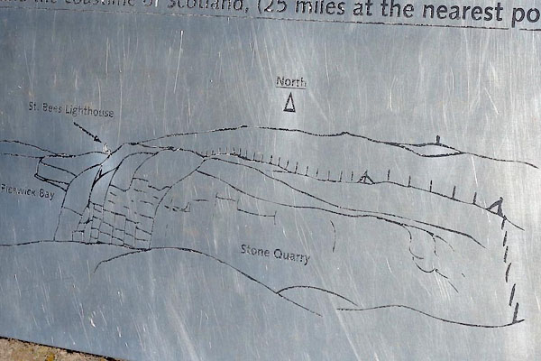
CDL10.jpg Outline view N, detail.
(taken 23.6.2015)
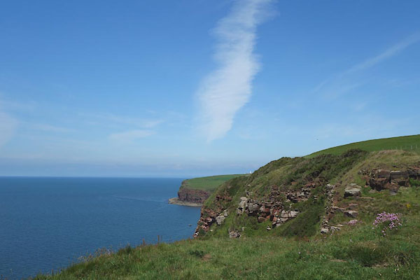
CDL11.jpg View N.
(taken 23.6.2015)
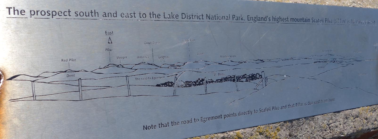
Click to enlarge
CDL12.jpg Outline view S.
(taken 23.6.2015)

Click to enlarge
CDL13.jpg View S; St Bees obscured, Sellafield prominent.
(taken 23.6.2015)
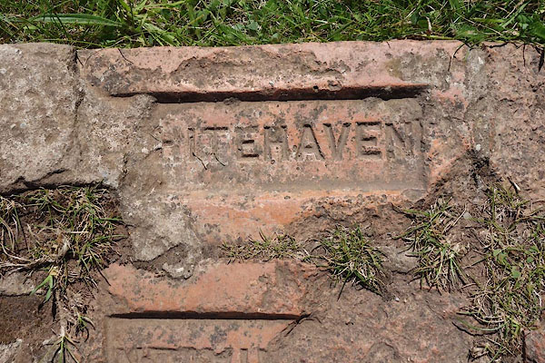
CDL07.jpg A brick from a Whitehaven brickmaker.
(taken 23.6.2015)
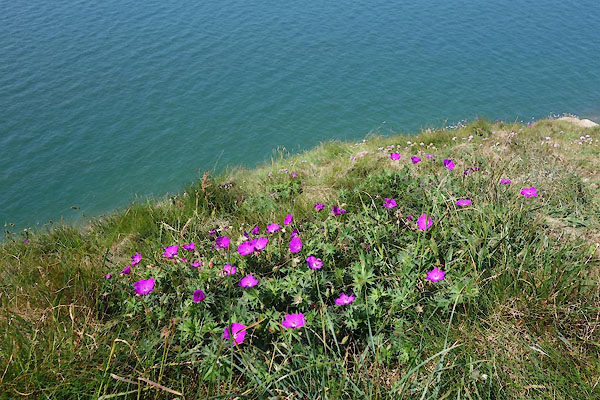
CDL05.jpg Blood red geranium, Geranium sanguineum.
(taken 23.6.2015)

 Lakes Guides menu.