 Old Cumbria Gazetteer
 |
 |
|
| Stanners Gill | ||
| runs into:- |  Cash Burn Cash Burn |
|
|
|
||
| civil parish:- | Alston Moor (formerly Cumberland) | |
| county:- | Cumbria | |
| locality type:- | river | |
| 1Km square:- | NY7139 (etc) | |
| 10Km square:- | NY73 | |
|
|
||
| evidence:- | probably old map:- Donald 1774 (Cmd) placename:- Cornrigg Burn |
|
| source data:- | Map, hand coloured engraving, 3x2 sheets, The County of Cumberland, scale about 1
inch to 1 mile, by Thomas Donald, engraved and published by Joseph Hodskinson, 29
Arundel Street, Strand, London, 1774.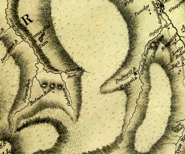 D4NY73NW.jpg "Cornrigg Burn" single or double wiggly line; a river item:- Carlisle Library : Map 2 Image © Carlisle Library |
|
|
|
||
Lakes Guides menu.