 Old Cumbria Gazetteer
 |
 |
|
| Sloe Brae Gill | ||
| runs into:- |  Outhgill Beck Outhgill Beck |
|
|
|
||
| locality:- | Sloe Brae | |
| locality:- | Mallerstang | |
| civil parish:- | Mallerstang (formerly Westmorland) | |
| county:- | Cumbria | |
| locality type:- | river | |
| 1Km square:- | NY7901 (etc) | |
| 10Km square:- | NY70 | |
|
|
||
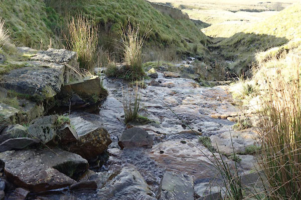 CGW69.jpg a ford? (taken 8.11.2017) |
||
|
|
||
| evidence:- | old map:- OS County Series (Wmd 30 15) placename:- Sloe Brae Gill |
|
| source data:- | Maps, County Series maps of Great Britain, scales 6 and 25
inches to 1 mile, published by the Ordnance Survey, Southampton,
Hampshire, from about 1863 to 1948. |
|
|
|
||
Lakes Guides menu.