 Old Cumbria Gazetteer
 |
 |
|
| sheepfold, Longsleddale (9) | ||
| civil parish:- | Longsleddale (formerly Westmorland) | |
| county:- | Cumbria | |
| locality type:- | sheepfold | |
| coordinates:- | NY49130316 | |
| 1Km square:- | NY4903 | |
| 10Km square:- | NY40 | |
|
|
||
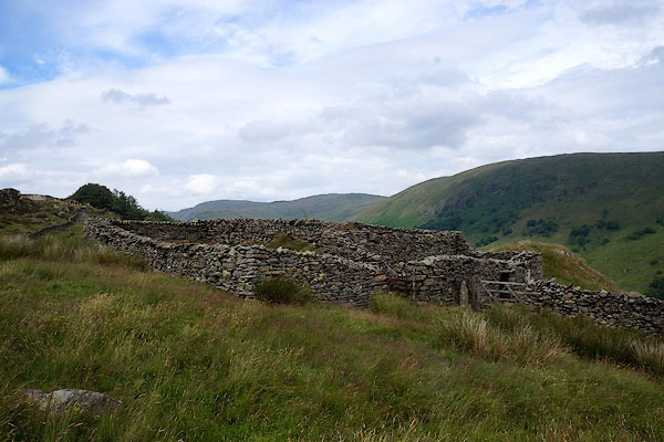 CBC40.jpg (taken 11.7.2014) 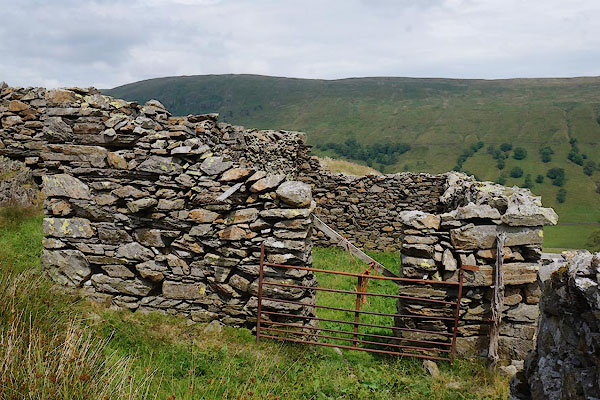 CBC41.jpg (taken 11.7.2014) |
||
|
|
||
| evidence:- | old map:- OS County Series (Wmd 27 11) |
|
| source data:- | Maps, County Series maps of Great Britain, scales 6 and 25
inches to 1 mile, published by the Ordnance Survey, Southampton,
Hampshire, from about 1863 to 1948. "Sheepfold / Ruins" |
|
|
|
||
 Lakes Guides menu.