 Old Cumbria Gazetteer
 |
 |
|
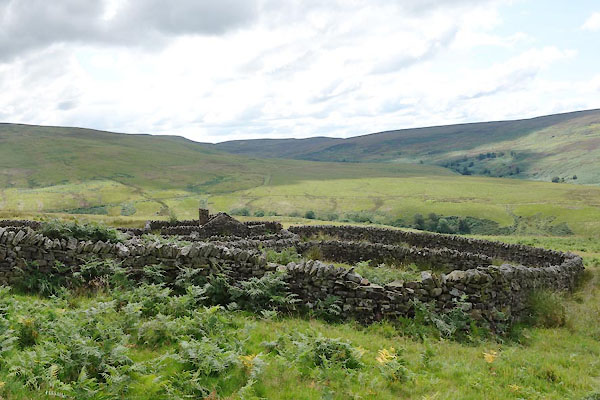
| sheepfold, Geltsdale (3) | ||
| locality:- | Geltsdale | |
| civil parish:- | Geltsdale (formerly Cumberland) | |
| county:- | Cumbria | |
| locality type:- | sheepfold | |
| coordinates:- | NY58225373 | |
| 1Km square:- | NY5853 | |
| 10Km square:- | NY55 | |
|
|
||
 CBH67.jpg (taken 28.7.2014) 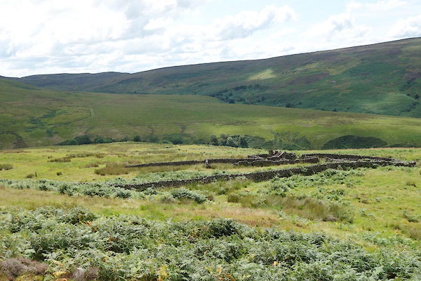 CBH68.jpg (taken 28.7.2014) |
||
|
|
||
| evidence:- | old map:- OS County Series (Cmd 25 11) |
|
| source data:- | Maps, County Series maps of Great Britain, scales 6 and 25
inches to 1 mile, published by the Ordnance Survey, Southampton,
Hampshire, from about 1863 to 1948. "Sheepfold" |
|
|
|
||
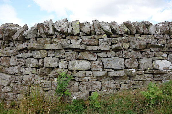 CBH74.jpg (taken 28.7.2014) 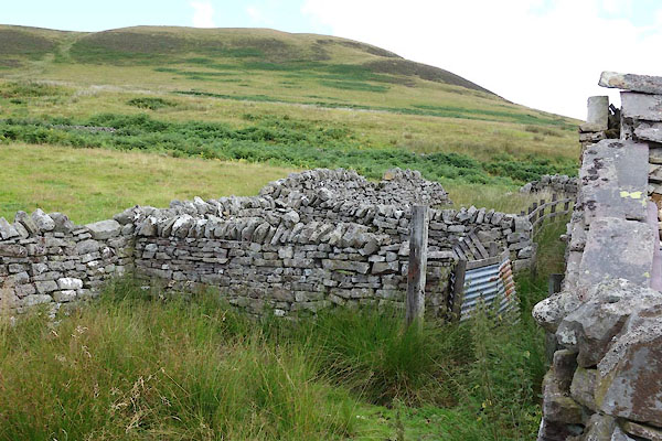 CBH75.jpg (taken 28.7.2014) 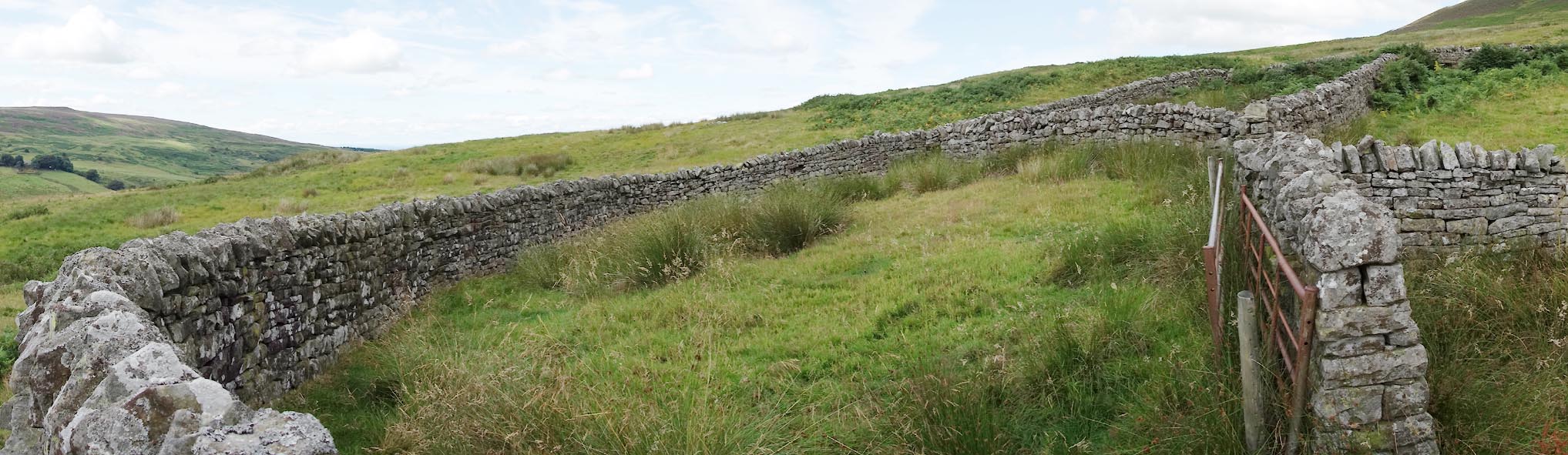 Click to enlarge CBH76.jpg Walling. (taken 28.7.2014) |
||
|
|
||
| MN photo:- |
This large, remote fold has a bothy. |
|
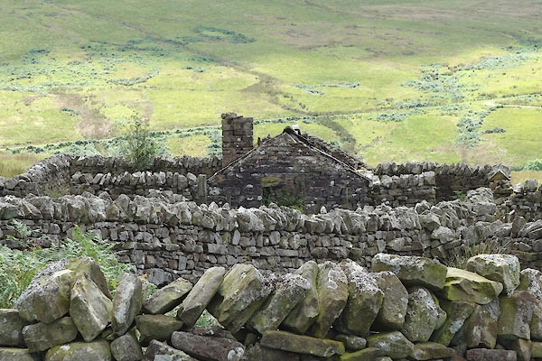 CBH69.jpg (taken 28.7.2014) 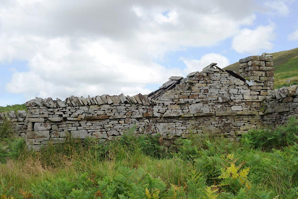 CBH70.jpg (taken 28.7.2014) 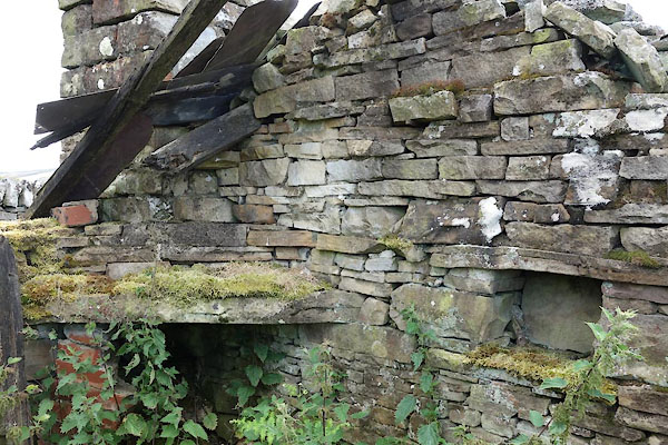 CBH71.jpg (taken 28.7.2014) 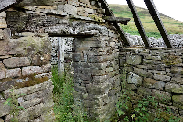 CBH72.jpg (taken 28.7.2014) 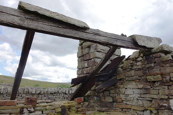 CBH73.jpg (taken 28.7.2014) |
||
|
|
||
 Lakes Guides menu.