 Old Cumbria Gazetteer
 |
 |
|
| sheepfold, Buttermere (12) | ||
| locality:- | Rannerdale Farm | |
| civil parish:- | Buttermere (formerly Cumberland) | |
| county:- | Cumbria | |
| locality type:- | sheepfold | |
| coordinates:- | NY17521780 | |
| 1Km square:- | NY1717 | |
| 10Km square:- | NY11 | |
|
|
||
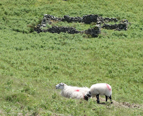 CAY15.jpg The smit mark, red pop on top of couplings, is for Rannerdale Farm. (taken 11.6.2014) |
||
|
|
||
 Lakes Guides menu.