 Old Cumbria Gazetteer
 |
 |
|
| sheepfold, Above Derwent (9) | ||
| civil parish:- | Above Derwent (formerly Cumberland) | |
| county:- | Cumbria | |
| locality type:- | sheepfold | |
| coordinates:- | NY21762166 | |
| 1Km square:- | NY2121 | |
| 10Km square:- | NY22 | |
|
|
||
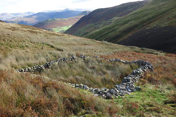 BZN96.jpg (taken 24.10.2013) 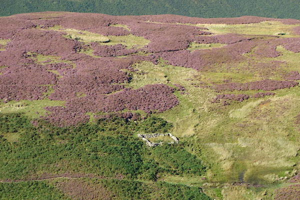 CDZ39.jpg (taken 16.9.2015) |
||
|
|
||
| evidence:- | old map:- OS County Series (Cmd 63 12) |
|
| source data:- | Maps, County Series maps of Great Britain, scales 6 and 25
inches to 1 mile, published by the Ordnance Survey, Southampton,
Hampshire, from about 1863 to 1948. "Sheepfold" |
|
|
|
||
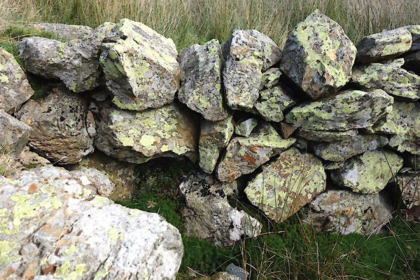 BZN97.jpg Walling. (taken 24.10.2013) 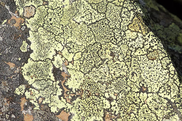 BZN98.jpg Lichen geographicus. (taken 24.10.2013) 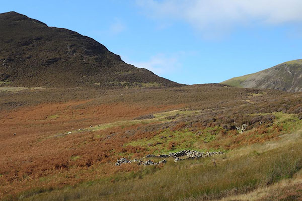 BZN99.jpg (taken 24.10.2013) |
||
|
|
||
 Lakes Guides menu.