 Old Cumbria Gazetteer
 |
 |
|
|
| sands road, Moricambe | |||
| suggested | |||
| Moricambe sands road | |||
| locality:- | Moricambe | ||
| civil parish:- | Silloth-on-Solway (formerly Cumberland) | ||
| civil parish:- | Holme East Waver (formerly Cumberland) | ||
| civil parish:- | Bowness (formerly Cumberland) | ||
| county:- | Cumbria | ||
| locality type:- | sands road | ||
| locality type:- | route | ||
| 10Km square:- | NY15 | ||
| SummaryText:- | possible route? | ||
| references:- | Donald 1774 |
||
|
|
|||
| evidence:- | old map:- Donald 1774 (Cmd) |
||
| source data:- | Map, hand coloured engraving, 3x2 sheets, The County of Cumberland, scale about 1
inch to 1 mile, by Thomas Donald, engraved and published by Joseph Hodskinson, 29
Arundel Street, Strand, London, 1774. double line, narrower, solid or dotted with a dot and number at 1 mile intervals; road 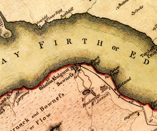 D4NY26SW.jpg 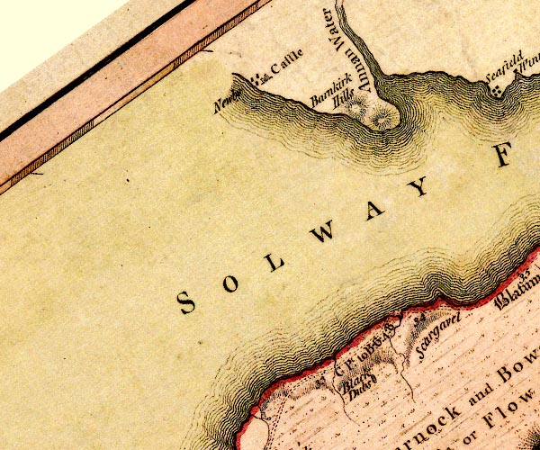 D4NY16SE.jpg "G Pt. to B. 6:4:8" miles.furlongs.poles; Grune Point to Bowness 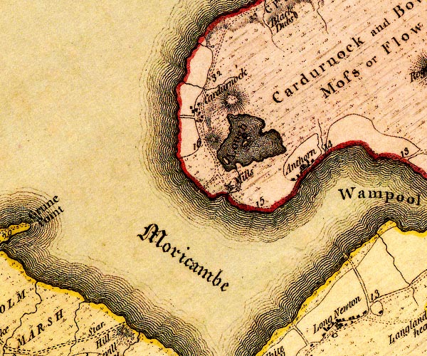 D4NY15NE.jpg 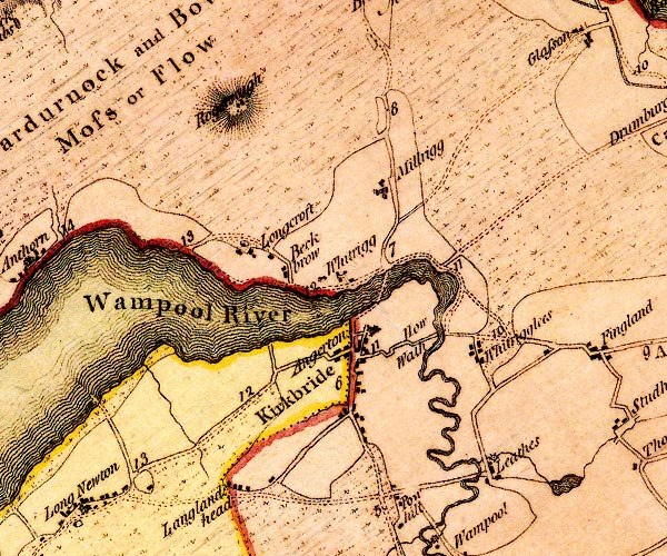 D4NY25NW.jpg item:- Carlisle Library : Map 2 Images © Carlisle Library |
||
|
|
|||
| place:- |  Grune Point, Silloth-on-Solway Longdyke Scar, Bowness Cardurnock, Bowness Grune Point, Silloth-on-Solway Longdyke Scar, Bowness Cardurnock, Bowness |
||
|
|
|||
Lakes Guides menu.