 Old Cumbria Gazetteer
 |
 |
|
| Rowten Beck | ||
| locality:- | Glenridding Common | |
| locality:- | Glenridding | |
| civil parish:- | Patterdale (formerly Westmorland) | |
| county:- | Cumbria | |
| locality type:- | river | |
| 1Km square:- | NY3517 (etc) | |
| 10Km square:- | NY31 | |
|
|
||
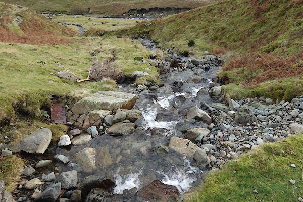 CCC97.jpg (taken 18.11.2014)  CCC98.jpg Waterfall, (taken 18.11.2014) 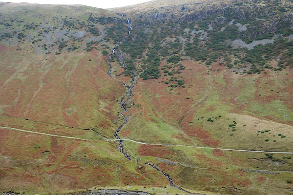 CCC99.jpg (taken 18.11.2014) |
||
|
|
||
| evidence:- | old map:- OS County Series (Wmd 12 9) placename:- Rowting Beck |
|
| source data:- | Maps, County Series maps of Great Britain, scales 6 and 25
inches to 1 mile, published by the Ordnance Survey, Southampton,
Hampshire, from about 1863 to 1948. |
|
|
|
||
 Lakes Guides menu.