 Old Cumbria Gazetteer
 |
 |
|
| Raven's Nest, Mallerstang | ||
| Raven's Nest | ||
| locality:- | Mallerstang | |
| civil parish:- | Mallerstang (formerly Westmorland) | |
| county:- | Cumbria | |
| locality type:- | rocks | |
| coordinates:- | SD79469901 | |
| 1Km square:- | SD7999 | |
| 10Km square:- | SD79 | |
|
|
||
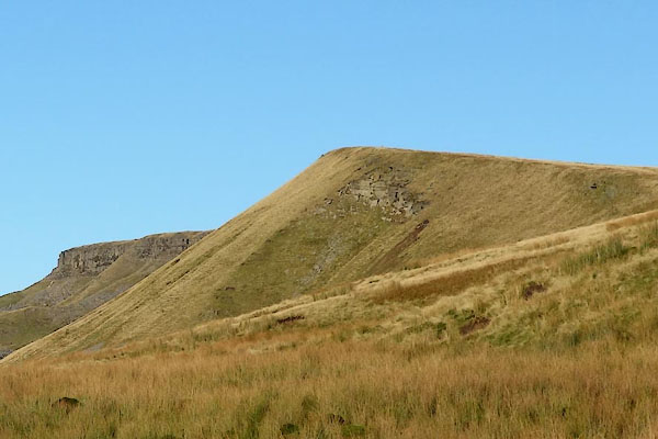 CEH30.jpg on the face of White Brow. (taken 2.11.2015) |
||
|
|
||
| evidence:- | old map:- OS County Series (Wmd 36 7) placename:- Ravens Nest |
|
| source data:- | Maps, County Series maps of Great Britain, scales 6 and 25
inches to 1 mile, published by the Ordnance Survey, Southampton,
Hampshire, from about 1863 to 1948. |
|
|
|
||
 Lakes Guides menu.