 Old Cumbria Gazetteer
 |
 |
|
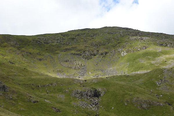
| Rainsborrow Cove, Kentmere | ||
| Rainsborrow Cove | ||
| locality:- | Kentmere | |
| civil parish:- | Kentmere (formerly Westmorland) | |
| county:- | Cumbria | |
| locality type:- | valley | |
| locality type:- | cirque | |
| coordinates:- | NY44120731 (etc) | |
| 1Km square:- | NY4407 | |
| 10Km square:- | NY40 | |
|
|
||
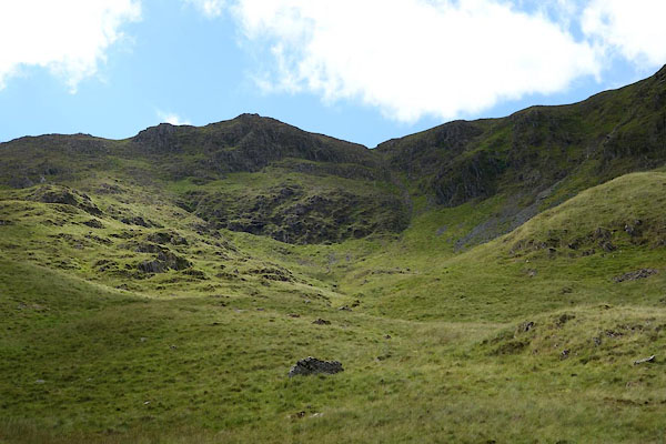 CBD94.jpg (taken 15.7.2014) 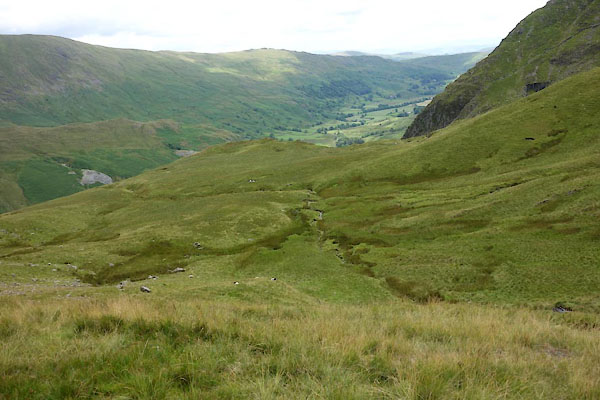 CBD95.jpg (taken 15.7.2014) |
||
|
|
||
| evidence:- | old map:- OS County Series (Wmd 27 1) placename:- Rainsborrow Cove |
|
| source data:- | Maps, County Series maps of Great Britain, scales 6 and 25
inches to 1 mile, published by the Ordnance Survey, Southampton,
Hampshire, from about 1863 to 1948. |
|
|
|
||
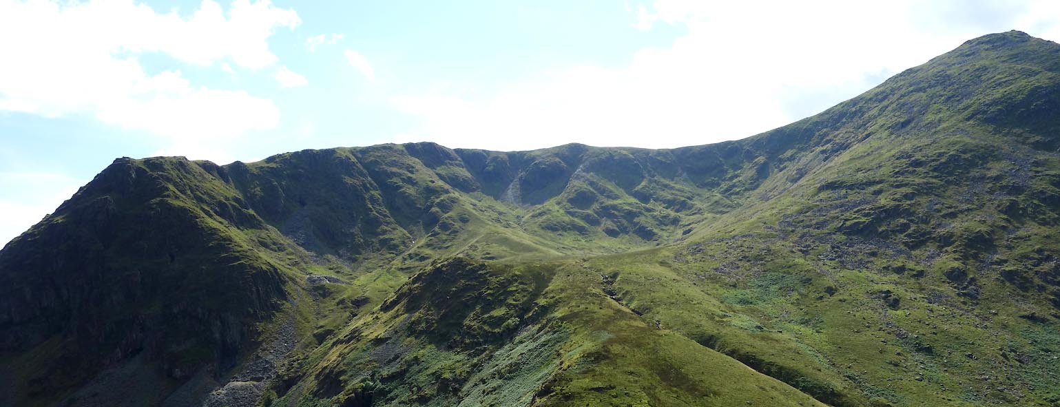 Click to enlarge CBD99.jpg (taken 15.7.2014) 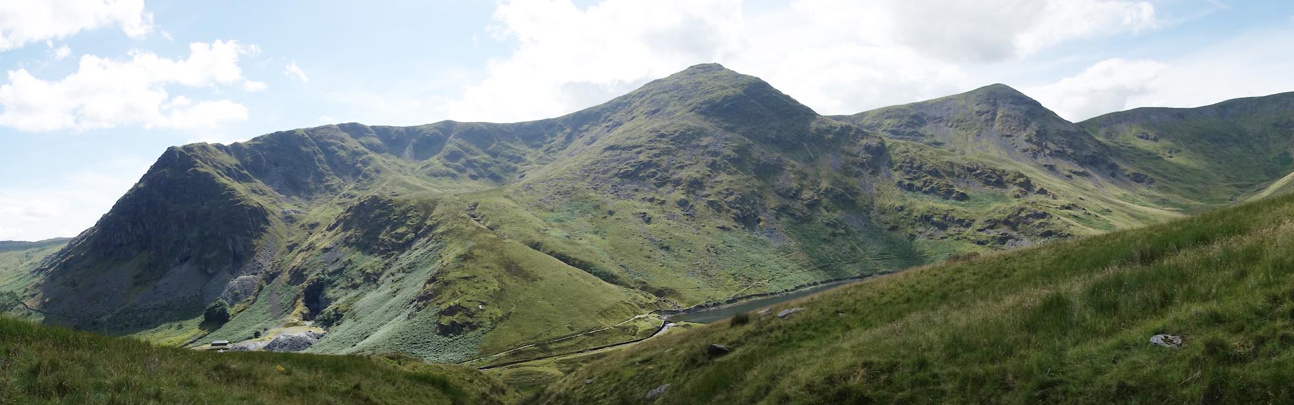 Click to enlarge CBE01.jpg Rainsborrow Crag and Cove, Ill Bell, Froswick. (taken 15.7.2014) |
||
|
|
||
| MN photo:- |
There is a subordinate cirque in the NW corner, about NY43850745 etc. |
|
 CBD96.jpg (taken 15.7.2014) 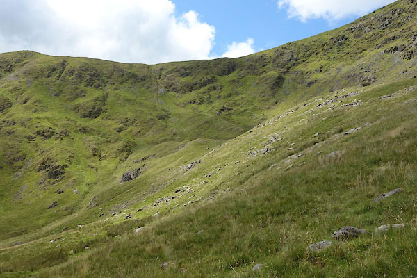 CBD97.jpg (taken 15.7.2014) |
||
|
|
||
 Lakes Guides menu.