 Old Cumbria Gazetteer
 |
 |
|
| peat house, Eskdale | ||
| civil parish:- | Eskdale (formerly Cumberland) | |
| county:- | Cumbria | |
| locality type:- | peat house | |
| coordinates:- | NY19070005 | |
| 1Km square:- | NY1900 | |
| 10Km square:- | NY10 | |
|
|
||
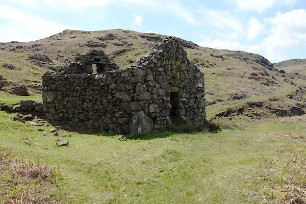 CDE97.jpg (taken 4.6.2015) 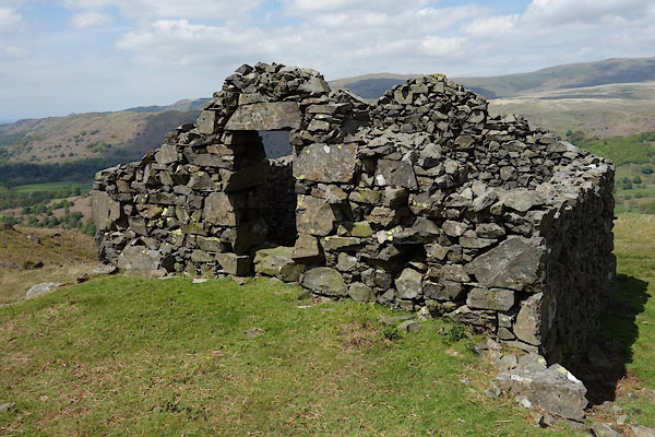 CDE99.jpg Upper entrance. (taken 4.6.2015) |
||
|
|
||
| evidence:- | old map:- OS County Series (Cmd 79 15) |
|
| source data:- | Maps, County Series maps of Great Britain, scales 6 and 25
inches to 1 mile, published by the Ordnance Survey, Southampton,
Hampshire, from about 1863 to 1948. Drawn with its rear bank, ENE of Birker Force. |
|
|
|
||
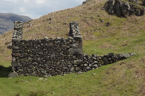 CDE98.jpg (taken 4.6.2015) 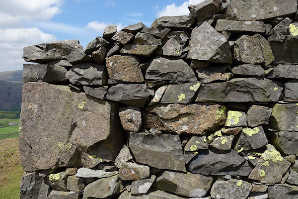 CDF02.jpg Walling. (taken 4.6.2015) 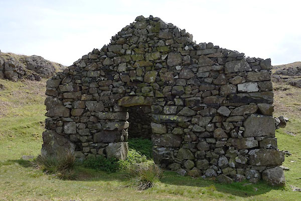 CDF01.jpg Door in end. (taken 4.6.2015) 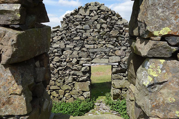 CDF03.jpg (taken 4.6.2015) 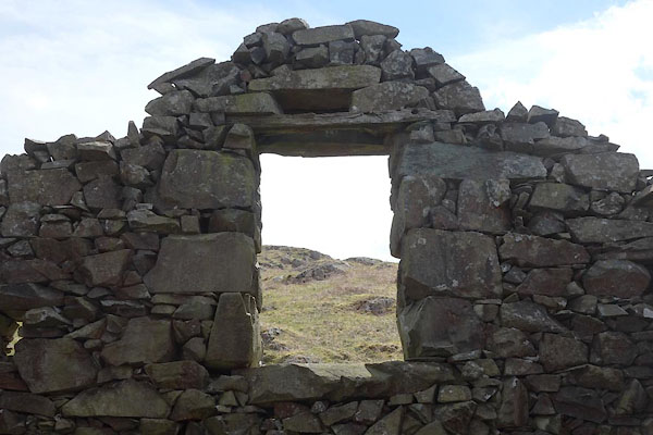 CDF04.jpg Window. (taken 4.6.2015) 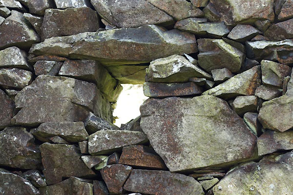 CDF05.jpg Window. (taken 4.6.2015)  CDF06.jpg The peat road down from the peathouse. (taken 4.6.2015) |
||
|
|
||
| notes:- |
Also known as a peat cote. |
|
|
|
||
 Lakes Guides menu.