 Old Cumbria Gazetteer
 |
 |
|
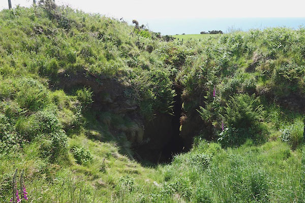
| Pattering Holes, St Bees Head | ||
| Pattering Holes | ||
| locality:- | St Bees Head | |
| civil parish:- | St Bees (formerly Cumberland) | |
| county:- | Cumbria | |
| locality type:- | cave (?) | |
| coordinates:- | NX95331192 | |
| 1Km square:- | NX9511 | |
| 10Km square:- | NX91 | |
|
|
||
 CDL03.jpg (taken 23.6.2015) 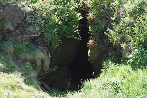 CDL04.jpg (taken 23.6.2015) |
||
|
|
||
| evidence:- | old map:- OS County Series (Cmd 72 1) placename:- Pattering Holes |
|
| source data:- | Maps, County Series maps of Great Britain, scales 6 and 25
inches to 1 mile, published by the Ordnance Survey, Southampton,
Hampshire, from about 1863 to 1948. |
|
|
|
||
 Lakes Guides menu.