 Old Cumbria Gazetteer
 |
 |
|
| Paradise Lane, Milnthorpe | ||
| Paradise Lane | ||
| Parish Dyke | ||
| civil parish:- | Milnthorpe (formerly Westmorland) | |
| civil parish:- | Beetham (formerly Westmorland) | |
| county:- | Cumbria | |
| locality type:- | road | |
| locality type:- | boundary | |
| locality type:- | parish boundary | |
| coordinates:- | SD50338090 (etc) | |
| 1Km square:- | SD5080 | |
| 10Km square:- | SD58 | |
|
|
||
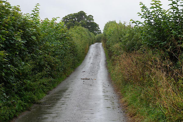 CBI31.jpg (taken 1.8.2014) |
||
|
|
||
| evidence:- | old map:- OS County Series (Wmd 46 3) placename:- Paradise Lane |
|
| source data:- | Maps, County Series maps of Great Britain, scales 6 and 25
inches to 1 mile, published by the Ordnance Survey, Southampton,
Hampshire, from about 1863 to 1948. |
|
|
|
||
| hearsay:- |
The name is said to derive from Parish Dyke; it was the parish boundary between Beetham
and Heversham. From a study of the species, the hedgrows have been dated to about
1100. |
|
|
|
||
 Lakes Guides menu.