 Old Cumbria Gazetteer
 |
 |
|
| Oldriggs Wath, Beaumont | ||
| Oldriggs Wath Bridge | ||
| site name:- | Powburgh Beck | |
| locality:- | Oldriggs Wath | |
| civil parish:- | Beaumont (formerly Cumberland) | |
| civil parish:- | Burgh by Sands (formerly Cumberland) | |
| county:- | Cumbria | |
| locality type:- | bridge | |
| locality type:- | ford (once) | |
| coordinates:- | NY33686094 | |
| 1Km square:- | NY3360 | |
| 10Km square:- | NY36 | |
|
|
||
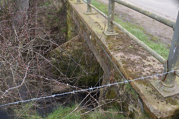 CCO33.jpg (taken 6.3.2015) 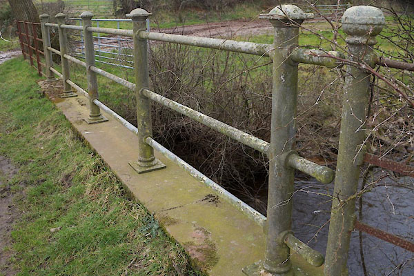 CCO34.jpg (taken 6.3.2015) |
||
|
|
||
| evidence:- | old map:- OS County Series (Cmd 16 5) placename:- Oldriggs Wath |
|
| source data:- | Maps, County Series maps of Great Britain, scales 6 and 25
inches to 1 mile, published by the Ordnance Survey, Southampton,
Hampshire, from about 1863 to 1948. "Oldriggs Wath / Foot Bridge" |
|
|
|
||
 Lakes Guides menu.