 Old Cumbria Gazetteer
 |
 |
|
| North Wall, Whitehaven Harbour | ||
| North Wall | ||
| site name:- | Whitehaven Harbour | |
| locality:- | North Harbour | |
| locality:- | Whitehaven | |
| civil parish:- | Whitehaven (formerly Cumberland) | |
| county:- | Cumbria | |
| locality type:- | quay | |
| coordinates:- | NX97201859 (etc) | |
| 1Km square:- | NX9718 | |
| 10Km square:- | NX91 | |
|
|
||
| evidence:- | old map:- OS County Series (Cmd 67 2) placename:- North Wall |
|
| source data:- | Maps, County Series maps of Great Britain, scales 6 and 25
inches to 1 mile, published by the Ordnance Survey, Southampton,
Hampshire, from about 1863 to 1948. "NORTH WALL / Mooring Posts / ..." |
|
|
|
||
| evidence:- | old map:- Donald 1774 (Cmd) placename:- North Wall |
|
| source data:- | Map, hand coloured engraving, 3x2 sheets, The County of Cumberland, scale about 1
inch to 1 mile, by Thomas Donald, engraved and published by Joseph Hodskinson, 29
Arundel Street, Strand, London, 1774.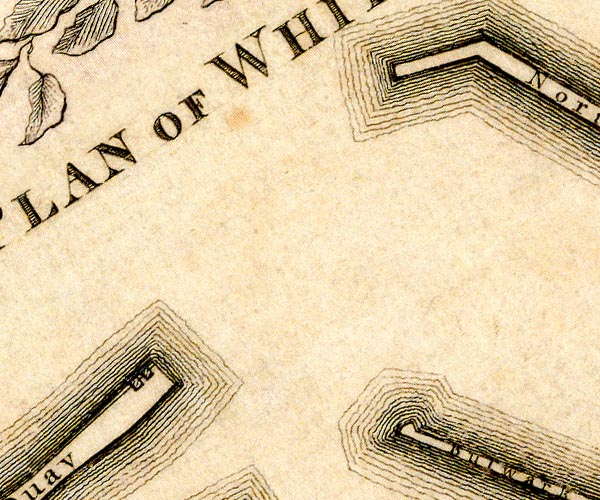 D49718C.jpg 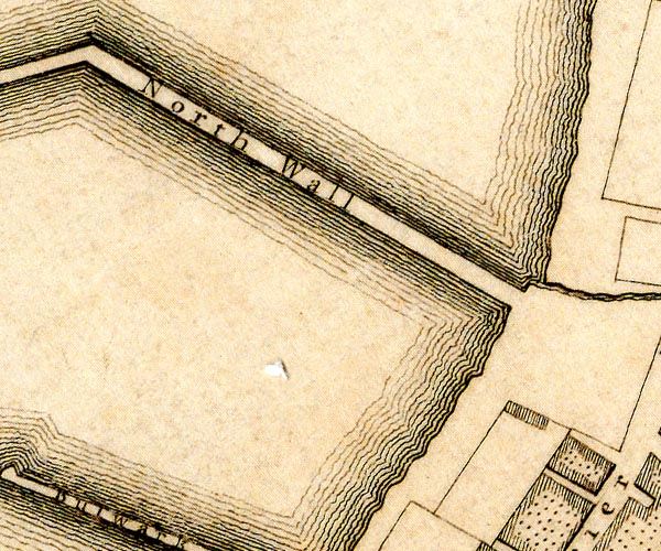 D49718H.jpg "North Wall" quay item:- Carlisle Library : Map 2 Images © Carlisle Library |
|
|
|
||
| evidence:- | old text:- Admiralty 1933 placename:- Old North Wall item:- navigation lights |
|
| source data:- |  goto source goto sourcePage 390:- "..." "A light is exhibited at an elevation of 25 feet (7m6), from a white post, 10 feet (3m0) in height, situated at the head of Old North wall (Lat. 54~ 33' N., Long. 3~ 35' W.)" |
|
|
|
||
Lakes Guides menu.