 Old Cumbria Gazetteer
 |
 |
|
| North Harbour, Whitehaven Harbour | ||
| North Harbour | ||
| site name:- | Whitehaven Harbour | |
| locality:- | Whitehaven | |
| civil parish:- | Whitehaven (formerly Cumberland) | |
| county:- | Cumbria | |
| locality type:- | dock | |
| coordinates:- | NX97171853 (etc) | |
| 1Km square:- | NX9718 | |
| 10Km square:- | NX91 | |
|
|
||
| evidence:- | old map:- OS County Series (Cmd 67 2) placename:- North Harbour |
|
| source data:- | Maps, County Series maps of Great Britain, scales 6 and 25
inches to 1 mile, published by the Ordnance Survey, Southampton,
Hampshire, from about 1863 to 1948. "NORTH HARBOUR / Mud" |
|
|
|
||
| evidence:- | old map:- Donald 1774 (Cmd) |
|
| source data:- | Map, hand coloured engraving, 3x2 sheets, The County of Cumberland, scale about 1
inch to 1 mile, by Thomas Donald, engraved and published by Joseph Hodskinson, 29
Arundel Street, Strand, London, 1774. D49718C.jpg 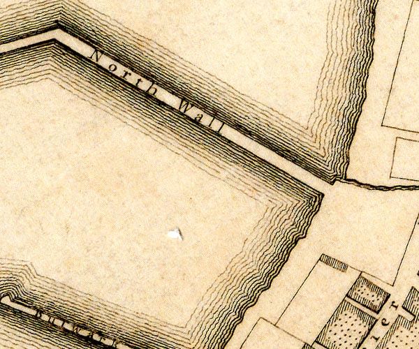 D49718H.jpg harbour protected by quays item:- Carlisle Library : Map 2 Images © Carlisle Library |
|
|
|
||
| evidence:- | old text:- Admiralty 1933 placename:- North Harbour item:- coal |
|
| source data:- |  goto source goto sourcePage 390:- "..." "Inner harbour, ... is divided into ... North harbour, contained within old North wall and the outer part of Bulwark pier; ..." "... At high water springs, there are depths of ... 18 feet (5m5) alongside those [quays] in North harbour." goto sourcePage 391:- "... There are coal mines, both northward and southward of the harbour, with direct rail services to the coal berths. Vessels can be loaded ... in North harbour at the rate of 100 tons an hour." |
|
|
|
||
Lakes Guides menu.