 Old Cumbria Gazetteer
 |
 |
|
| mine, Saltom Bay | ||
| gone | ||
| locality:- | Saltom Bay | |
| civil parish:- | Whitehaven (formerly Cumberland) | |
| county:- | Cumbria | |
| locality type:- | mine | |
| locality type:- | alabaster mine | |
| coordinates:- | NX95841577 (about) | |
| 1Km square:- | NX9515 | |
| 10Km square:- | NX91 | |
| SummaryText:- | there are miscellaneous remains. | |
|
|
||
| evidence:- | old map:- OS County Series (Cmd 67 9) |
|
| source data:- | Maps, County Series maps of Great Britain, scales 6 and 25
inches to 1 mile, published by the Ordnance Survey, Southampton,
Hampshire, from about 1863 to 1948. Three sites, labelled "Level (Alabaster)" and tracks and small buildings. |
|
|
|
||
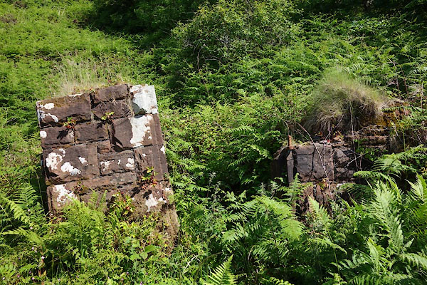 CDL46.jpg Gate piers, (taken 23.6.2015) 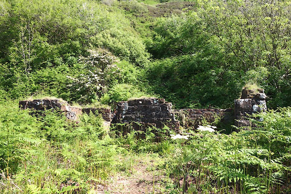 CDL47.jpg Buildings, (taken 23.6.2015) 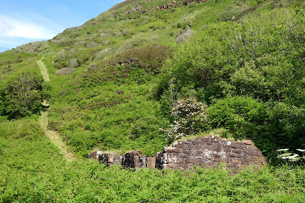 CDL48.jpg Buildings, (taken 23.6.2015) 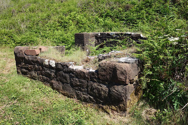 CDL49.jpg Buildings, (taken 23.6.2015) |
||
|
|
||
 Lakes Guides menu.