 Old Cumbria Gazetteer
 |
 |
|
| mill, Bridgefoot | ||
| site name:- | Marron, River | |
| locality:- | Bridgefoot | |
| civil parish:- | Little Clifton (formerly Cumberland) | |
| county:- | Cumbria | |
| locality type:- | buildings | |
| locality type:- | mill (ex) | |
| locality type:- | water mill | |
| locality type:- | corn mill | |
| coordinates:- | NY05612921 | |
| 1Km square:- | NY0529 | |
| 10Km square:- | NY02 | |
|
|
||
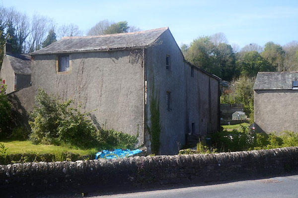 CGB74.jpg (taken 10.5.2017) 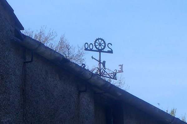 CGB75.jpg Weathervane, mill wheel. (taken 10.5.2017) |
||
|
|
||
| evidence:- | old map:- OS County Series (Cmd 54 5) |
|
| source data:- | Maps, County Series maps of Great Britain, scales 6 and 25
inches to 1 mile, published by the Ordnance Survey, Southampton,
Hampshire, from about 1863 to 1948. "Corn Mill" |
|
|
|
||
| evidence:- | old map:- Donald 1774 (Cmd) |
|
| source data:- | Map, hand coloured engraving, 3x2 sheets, The County of Cumberland, scale about 1
inch to 1 mile, by Thomas Donald, engraved and published by Joseph Hodskinson, 29
Arundel Street, Strand, London, 1774.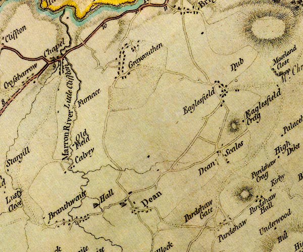 D4NY02NE.jpg circle with rays, mill wheel; a water mill at Little Clifton item:- Carlisle Library : Map 2 Image © Carlisle Library |
|
|
|
||
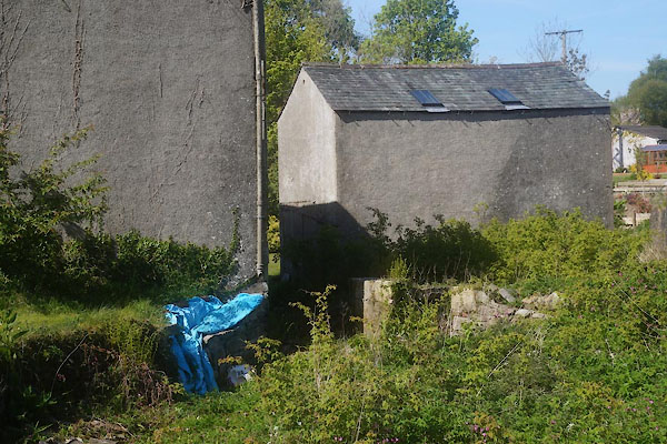 CGB76.jpg Remains of mill lades. (taken 10.5.2017) 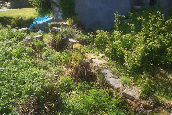 CGB77.jpg Remains of mill lades. (taken 10.5.2017) |
||
|
|
||
 Lakes Guides menu.