 Old Cumbria Gazetteer
 |
 |
|
| Keekle Low Bridge, Keekle | ||
| Keekle Low Bridge | ||
| site name:- | Keekle, River | |
| locality:- | Keekle | |
| civil parish:- | Weddicar (formerly Cumberland) | |
| civil parish:- | Cleator Moor (formerly Cumberland) | |
| county:- | Cumbria | |
| locality type:- | bridge | |
| coordinates:- | NY00511618 | |
| 1Km square:- | NY0016 | |
| 10Km square:- | NY01 | |
|
|
||
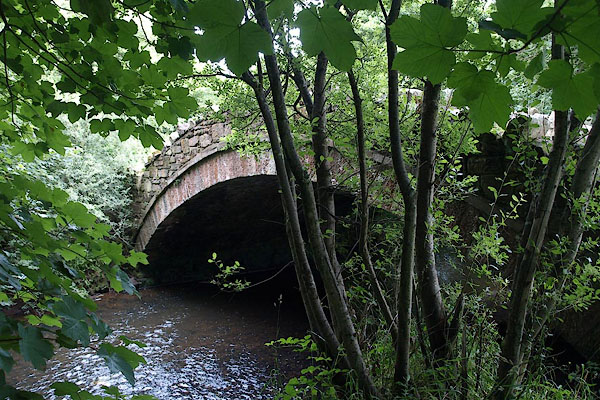 BPL48.jpg (taken 15.7.2008) 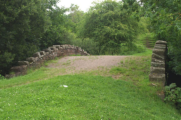 BPL49.jpg (taken 15.7.2008) |
||
|
|
||
| evidence:- | old map:- OS County Series (Cmd 67 7) placename:- High Keekle Bridge placename:- Keekle Bridge, High |
|
| source data:- | Maps, County Series maps of Great Britain, scales 6 and 25
inches to 1 mile, published by the Ordnance Survey, Southampton,
Hampshire, from about 1863 to 1948. |
|
|
|
||
| evidence:- | probably old map:- Bowen and Kitchin 1760 |
|
| source data:- | Map, hand coloured engraving, A New Map of the Counties of
Cumberland and Westmoreland Divided into their Respective Wards,
scale about 4 miles to 1 inch, by Emanuel Bowen and Thomas
Kitchin et al, published by T Bowles, Robert Sayer, and John
Bowles, London, 1760.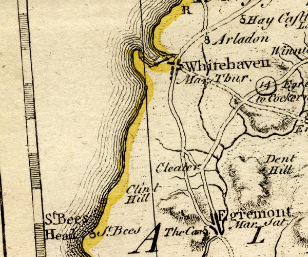 BO18NX91.jpg road across the Keekle item:- Armitt Library : 2008.14.10 Image © see bottom of page |
|
|
|
||
| evidence:- | old map:- Bell 1892 placename:- Keekle Low Bridge |
|
| source data:- | Map, colour lithograph, Road Map of Cumberland, by George Joseph
Bell, scale about 2.5 miles to 1 inch, printed by Charles
Thurnam and Sons, Carlisle, Cumberland, 1892.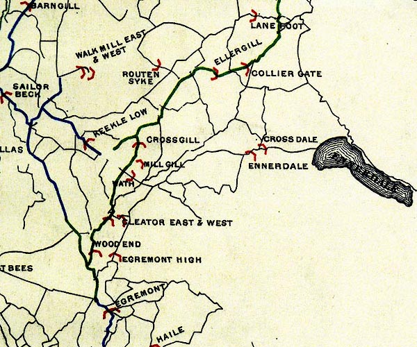 BEL9NY01.jpg "KEEKLE LOW" bridge symbol Road map of Cumberland showing County Bridges item:- Carlisle Library : Map 38 Image © Carlisle Library |
|
|
|
||
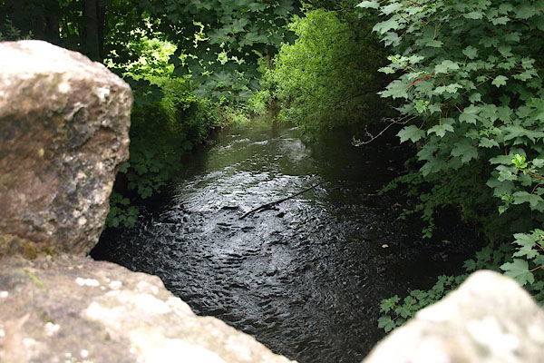 BPL50.jpg View of river. (taken 15.7.2008) |
||
|
|
||
 Lakes Guides menu.