 Old Cumbria Gazetteer
 |
 |
|
| Inner Harbour, Whitehaven Harbour | ||
| Inner Harbour | ||
| Lowther Marina | ||
| site name:- | Whitehaven Harbour | |
| locality:- | Whitehaven | |
| civil parish:- | Whitehaven (formerly Cumberland) | |
| county:- | Cumbria | |
| locality type:- | dock | |
| coordinates:- | NX97161836 | |
| 1Km square:- | NX9718 | |
| 10Km square:- | NX91 | |
|
|
||
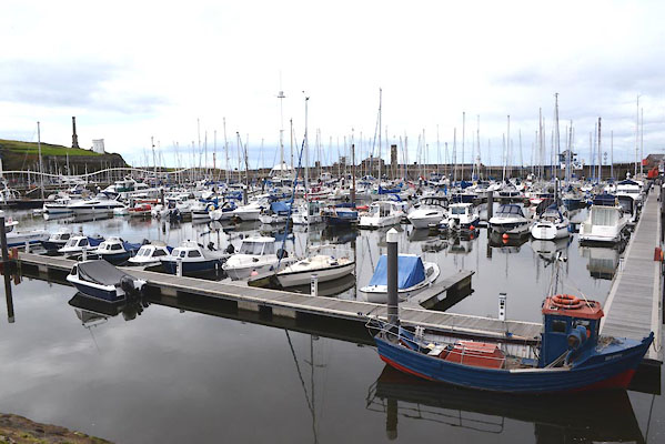 CGN82.jpg (taken 15.9.2017) 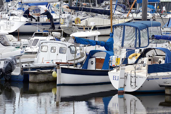 CGN84.jpg (taken 15.9.2017) |
||
|
|
||
| evidence:- | old map:- OS County Series (Cmd 67 2) placename:- Inner Harbour |
|
| source data:- | Maps, County Series maps of Great Britain, scales 6 and 25
inches to 1 mile, published by the Ordnance Survey, Southampton,
Hampshire, from about 1863 to 1948. "INNER HARBOUR / Gridiron" |
|
|
|
||
| evidence:- | old map:- Donald 1774 (Cmd) |
|
| source data:- | Map, hand coloured engraving, 3x2 sheets, The County of Cumberland, scale about 1
inch to 1 mile, by Thomas Donald, engraved and published by Joseph Hodskinson, 29
Arundel Street, Strand, London, 1774.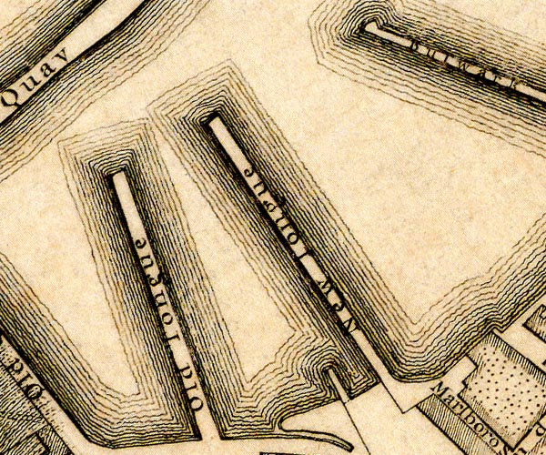 D49718B.jpg 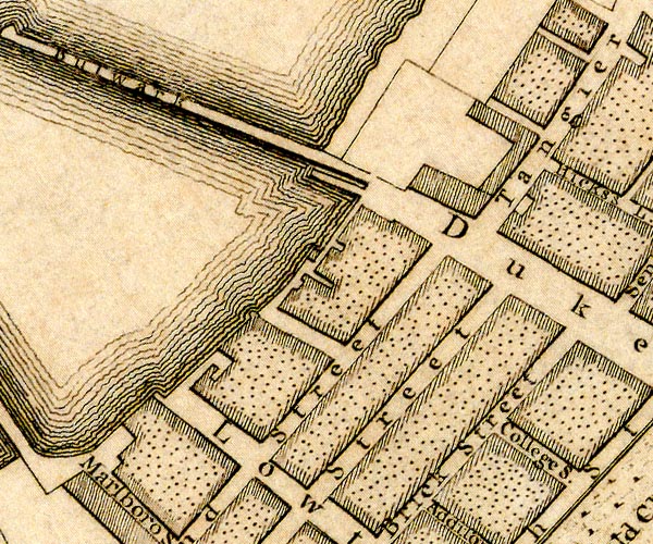 D49718G.jpg harbour protected by quays item:- Carlisle Library : Map 2 Images © Carlisle Library |
|
|
|
||
| evidence:- | old text:- Admiralty 1933 placename:- Inner Harbour |
|
| source data:- |  goto source goto sourcePage 390:- "..." "Inner harbour, with 3,000m feet (914m4) of quayage, is contained within Old quay and Old North wall, a jetty which projects southward from North pier. It is divided into South harbour, contained within Old quay and Old Tongue; Custom House harbour, between Old Tongue and New Tongue; Inner harbour, between New Tongue and Bulwark pier; North harbour, contained within old North wall and the outer part of Bulwark pier; and Queens dock, with North harbour (Lat. 54~ 33' N., Long. 3~ 36' W.)." "... At high water springs, there are depths of ... 13 feet (4m8) alongside those [quays] in Inner harbour; ..." goto sourcePage 391:- "..." "There is a gridiron, 112 feet (34m1) long and 22 1/2 feet (6m9) wide with depths of about 9 feet (2m7) over it at high water springs, situated on the western side on the Inner harbour, on which minor repairs can be effected." |
|
|
|
||
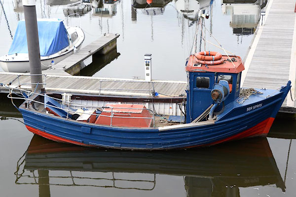 CGN83.jpg Fishing boat, lobster boat? Sea Spray. (taken 15.9.2017) 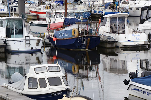 CGN85.jpg (taken 15.9.2017) 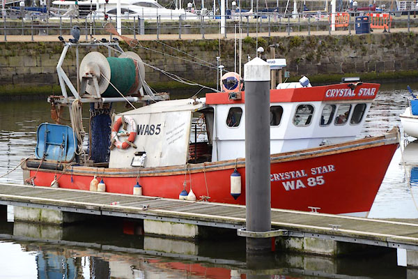 CGN86.jpg Fishing boat, trawler? Crystal Star (taken 15.9.2017) 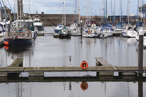 CGN87.jpg (taken 15.9.2017) |
||
|
|
||
Lakes Guides menu.