 Old Cumbria Gazetteer
 |
 |
|
| hush, Mallerstang | ||
| locality:- | Cotegill | |
| locality:- | Aisgill Moor | |
| locality:- | Mallerstang | |
| civil parish:- | Mallerstang (formerly Westmorland) | |
| county:- | Cumbria | |
| locality type:- | hush | |
| locality type:- | lead mine | |
| locality type:- | mine | |
| coordinates:- | SD77239662 (etc) | |
| 1Km square:- | SD7796 | |
| 10Km square:- | SD79 | |
| SummaryText:- | On a 1960s map as 'Lead Workings (disused) / Hush (dis) / Dam / Pits (dis) | |
|
|
||
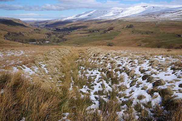 CER12.jpg Hush, from the dam. (taken 7.3.2016) |
||
|
|
||
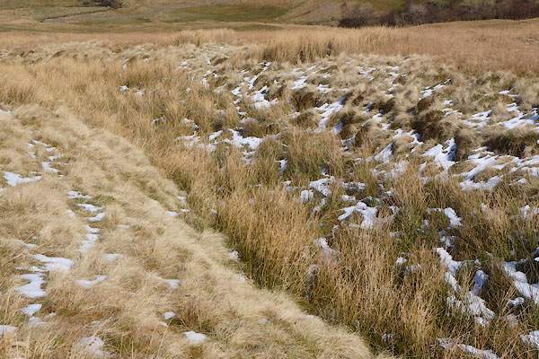 CER15.jpg Hush, part way down. (taken 7.3.2016) 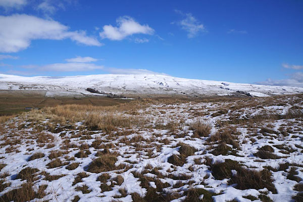 CER13.jpg Dam. (taken 7.3.2016) 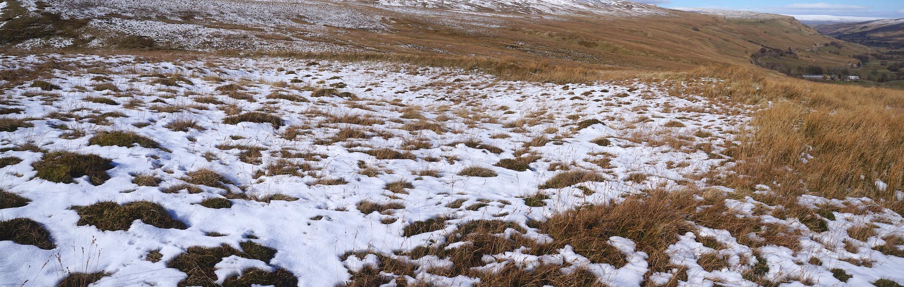 Click to enlarge CER14.jpg Dam. (taken 7.3.2016) 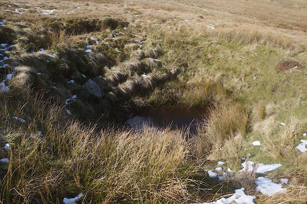 CER21.jpg 'Pit (dis)'; looks more like a shakehole, and why does the hush flood into the pit? (taken 7.3.2016) 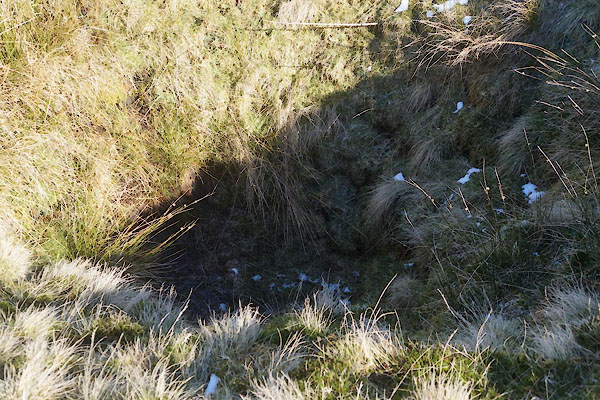 CER22.jpg 'Pit (dis)'; looks more like a shakehole, (taken 7.3.2016) |
||
|
|
||
 Lakes Guides menu.