 Old Cumbria Gazetteer
 |
 |
|
| Bankrigg, Waverbridge | ||
| Bankrigg | ||
| locality:- | Waverbridge | |
| civil parish:- | Dundraw (formerly Cumberland) | |
| county:- | Cumbria | |
| locality type:- | buildings | |
| locality type:- | inn (ex) | |
| coordinates:- | NY22144911 | |
| 1Km square:- | NY2249 | |
| 10Km square:- | NY24 | |
|
|
||
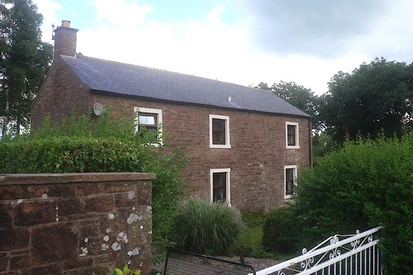 CFG08.jpg (taken 29.7.2016) |
||
|
|
||
| evidence:- | old map:- OS County Series (Cmd 28 8) placename:- Eagle Inn |
|
| source data:- | Maps, County Series maps of Great Britain, scales 6 and 25
inches to 1 mile, published by the Ordnance Survey, Southampton,
Hampshire, from about 1863 to 1948. |
|
|
|
||
 Lakes Guides menu.