 Old Cumbria Gazetteer
 |
 |
|
| house, Rosley | ||
| Wheatsheaf Inn | ||
| locality:- | Rosley | |
| civil parish:- | Westward (formerly Cumberland) | |
| county:- | Cumbria | |
| locality type:- | buildings | |
| locality type:- | inn (ex) | |
| coordinates:- | NY31994529 | |
| 1Km square:- | NY3145 | |
| 10Km square:- | NY34 | |
|
|
||
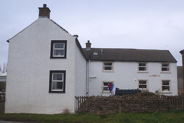 CET16.jpg Rear. (taken 18.3.2016) 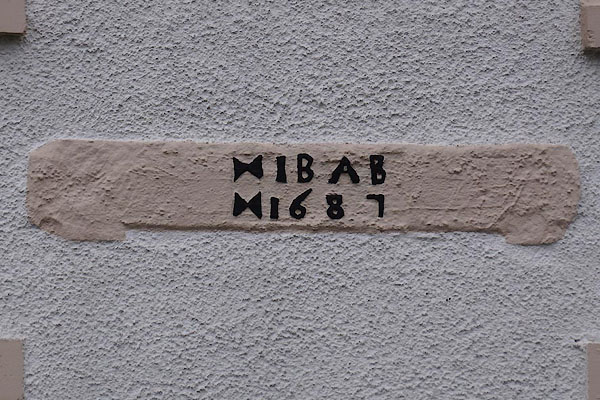 CET17.jpg Date stone:- "I B A B / 1687" (taken 18.3.2016) |
||
|
|
||
| evidence:- | old map:- OS County Series (Cmd 29 16) placename:- Wheatsheaf Inn |
|
| source data:- | Maps, County Series maps of Great Britain, scales 6 and 25
inches to 1 mile, published by the Ordnance Survey, Southampton,
Hampshire, from about 1863 to 1948. near the fair ground. |
|
|
|
||
 Lakes Guides menu.