 Old Cumbria Gazetteer
 |
 |
|
| Holborn Hill Settlement, Asby | ||
| Holborn Hill Settlement | ||
| locality:- | Holborn Hill | |
| civil parish:- | Asby (formerly Westmorland) | |
| county:- | Cumbria | |
| locality type:- | earthwork | |
| coordinates:- | NY68201217 (about) | |
| 1Km square:- | NY6812 | |
| 10Km square:- | NY61 | |
|
|
||
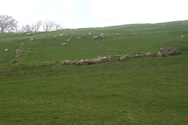 CFW83.jpg (taken 6.3.2017) 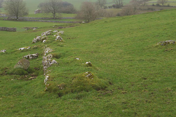 CFW84.jpg (taken 6.3.2017) |
||
|
|
||
| evidence:- | old map:- OS County Series (Wmd 22 7) placename:- Holborn Hill British Settlement |
|
| source data:- | Maps, County Series maps of Great Britain, scales 6 and 25
inches to 1 mile, published by the Ordnance Survey, Southampton,
Hampshire, from about 1863 to 1948. "Holborn Hill (British Settlement)" |
|
|
|
||
| evidence:- | site plan:- Historical Monuments 1936 placename:- Holborn Hill Settlement |
|
| source data:- | Site plan, uncoloured lithograph, Holborn Hill Settlement, Asby Mask, Asby, Westmorland,
scale about 1 to 1300, published by Royal Commission on Historical Monuments England,
London, 1936.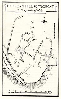 click to enlarge click to enlargeHMW015.jpg On p.18 of the Inventory of the Historical Monuments in Westmorland. printed, top "HOLBORN HILL SETTLEMENT / In the Parish of Asby." RCHME no. Wmd, Asby 20 item:- Armitt Library : A745.15 Image © see bottom of page |
|
|
|
||
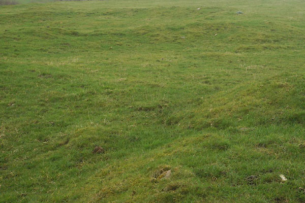 CFW85.jpg (taken 6.3.2017) 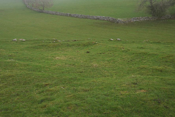 CFW86.jpg (taken 6.3.2017) |
||
|
|
||
 Lakes Guides menu.