 Old Cumbria Gazetteer
 |
 |
|
| Hill Top, Garsdale | ||
| Hill Top | ||
| civil parish:- | Garsdale (formerly Yorkshire) | |
| county:- | Cumbria | |
| locality type:- | barn | |
| coordinates:- | SD70909127 | |
| 1Km square:- | SD7091 | |
| 10Km square:- | SD79 | |
|
|
||
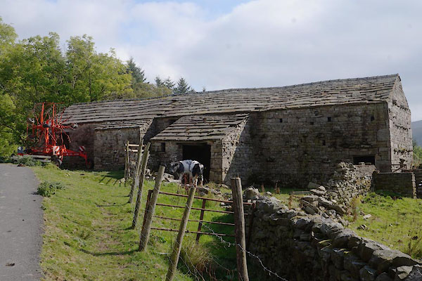 CBS60.jpg (taken 19.9.2014) 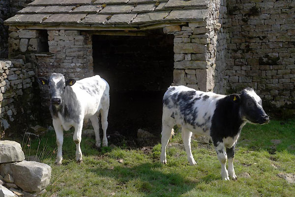 CBS61.jpg (taken 19.9.2014) |
||
|
|
||
| evidence:- | old map:- OS County Series (Yrk 64 1) placename:- Hill Top |
|
| source data:- | Maps, County Series maps of Great Britain, scales 6 and 25
inches to 1 mile, published by the Ordnance Survey, Southampton,
Hampshire, from about 1863 to 1948. |
|
|
|
||
 Lakes Guides menu.