 Old Cumbria Gazetteer
 |
 |
|
| High Spying How, Patterdale | ||
| High Spying How | ||
| locality:- | Striding Edge | |
| locality:- | Nethermost Cove | |
| civil parish:- | Patterdale (formerly Westmorland) | |
| county:- | Cumbria | |
| locality type:- | rocks | |
| coordinates:- | NY35011489 | |
| 1Km square:- | NY3514 | |
| 10Km square:- | NY31 | |
|
|
||
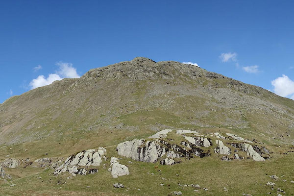 CAO56.jpg (taken 29.4.2014) |
||
|
|
||
| evidence:- | old map:- OS County Series (Wmd 12 13) placename:- High Spying How placename:- Spying How, High |
|
| source data:- | Maps, County Series maps of Great Britain, scales 6 and 25
inches to 1 mile, published by the Ordnance Survey, Southampton,
Hampshire, from about 1863 to 1948. |
|
|
|
||
 Lakes Guides menu.