 Old Cumbria Gazetteer
 |
 |
|
| High Hole Beck | ||
| locality:- | Newlands | |
| civil parish:- | Above Derwent (formerly Cumberland) | |
| county:- | Cumbria | |
| locality type:- | river | |
| 1Km square:- | NY1917 (etc) | |
| 10Km square:- | NY11 | |
|
|
||
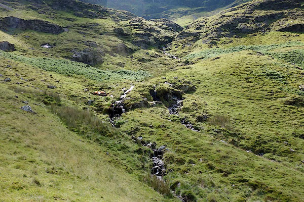 CBA99.jpg (taken 9.7.2014) 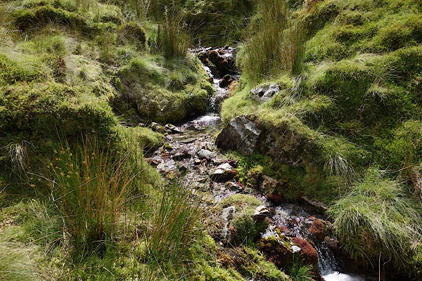 CBB01.jpg (taken 9.7.2014) |
||
|
|
||
| evidence:- | old map:- OS County Series (Cmd 69 3) placename:- High Hole Beck placename:- Hole Beck, High |
|
| source data:- | Maps, County Series maps of Great Britain, scales 6 and 25
inches to 1 mile, published by the Ordnance Survey, Southampton,
Hampshire, from about 1863 to 1948. |
|
|
|
||
 Lakes Guides menu.