 Old Cumbria Gazetteer
 |
 |
|
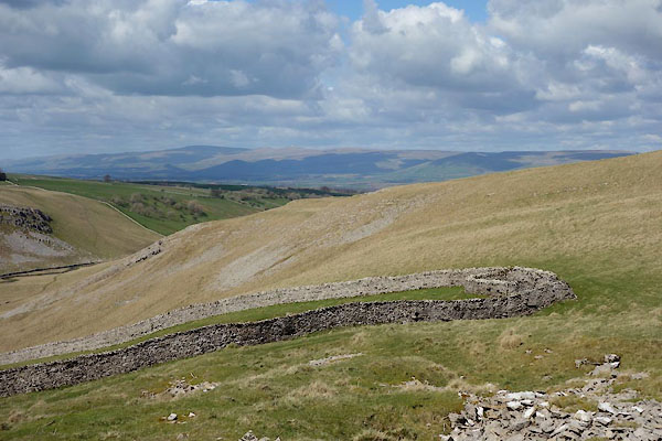
| Helm, Crosby Garrett | ||
| locality:- | Crosby Garrett Fell | |
| civil parish:- | Crosby Garrett (formerly Westmorland) | |
| county:- | Cumbria | |
| locality type:- | inclosure | |
| coordinates:- | NY70630803 (etc) | |
| 1Km square:- | NY7008 | |
| 10Km square:- | NY70 | |
|
|
||
 CAK01.jpg (taken 14.4.2014) |
||
|
|
||
| evidence:- | old map:- OS County Series (Wmd 22 16) placename:- Helm |
|
| source data:- | Maps, County Series maps of Great Britain, scales 6 and 25
inches to 1 mile, published by the Ordnance Survey, Southampton,
Hampshire, from about 1863 to 1948. |
|
|
|
||
 Lakes Guides menu.