 Old Cumbria Gazetteer
 |
 |
|
| Gategill Mine, Threlkeld | ||
| Gategill Mine | ||
| site name:- | Threlkeld Mine | |
| locality:- | Gate Gill | |
| civil parish:- | Threlkeld (formerly Cumberland) | |
| county:- | Cumbria | |
| locality type:- | mine (disused) | |
| coordinates:- | NY32422657 (about) | |
| 1Km square:- | NY3226 | |
| 10Km square:- | NY32 | |
|
|
||
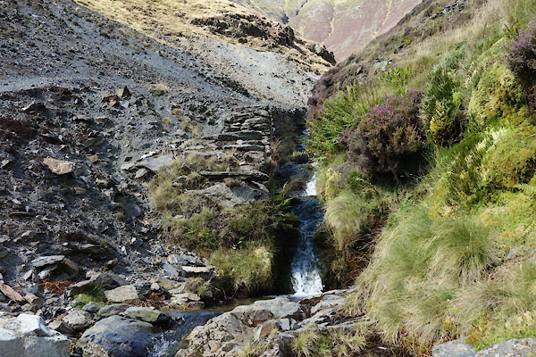
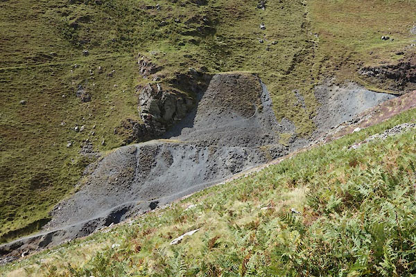 CBO15.jpg spoil heaps, (taken 26.8.2014) 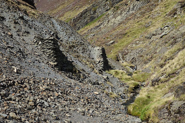 CBO17.jpg (taken 26.8.2014) |
||
|
|
||
| evidence:- | old map:- Postlethwaite 1877 (3rd edn 1913) placename:- Gategill Mine |
|
| source data:- | Map, uncoloured engraving, Map of the Lake District Mining Field, Westmorland, Cumberland,
Lancashire, scale about 5 miles to 1 inch, by John Postlethwaite, published by W H
Moss and Sons, 13 Lowther Street, Whitehaven, Cumberland, 1877 edn 1913.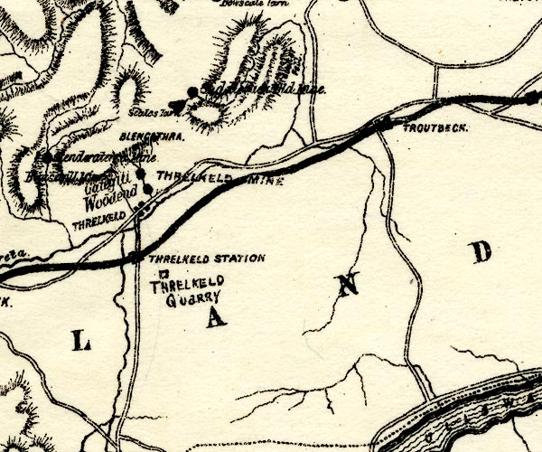 PST2NY32.jpg "Gategill" mine symbol item:- JandMN : 162.2 Image © see bottom of page |
|
|
|
||
 CBO16.jpg (taken 26.8.2014) 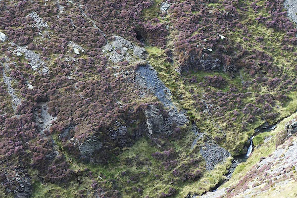 CBO14.jpg trial? (taken 26.8.2014) |
||
|
|
||
 Lakes Guides menu.